What is recorded here
Holy well in Crowagh OR Dunneill Mountain is a holy well in Crowagh OR Dunneill Mountain, County Sligo, Ireland. The rectangular pit measures 2.4m NE-SW, 1.1m NW-SE and 0.5m deep, with a narrow 4m outflow channel reaching the river bank from its N corner. Large stones form a rough surround at the S-SW end. Local information calls it The Blessed Well, but it has no saint association, pattern tradition or cure tradition.
In the base of the Crowagh River valley, on a broad U-shaped area of level, grassy ground defined by a meander in the river. Immediately to W of the river, the valley slope rises steeply to a plateau of blanket bog which stretching to the W. The well consists of a rectangular, vertical-sided pit (2.4m NE–SW; 1.1m NW–SE; D 0.5m) with a narrow outflow channel extending from the N corner for 4m to the river bank at NNW. Several large stones form a rough surround or paving at the S–SW end of the well. According to local information, the well is known as ‘The Blessed Well’ but it is not associated with a saint, and there is no tradition of a pattern or a ‘cure’. The well was used by turf harvesters as a source of fresh water.
Compiled by: Jane O'Shaughnessy
Date of upload: 4 April 2014
This holy well is traditionally associated with Saint Cianan, a 6th-century Irish monk and founder of several monastic sites in the region. Locally, it was once visited for the cure of skin ailments, with pilgrims collecting water on specific feast days and leaving small offerings at the site.
The monument record does not grant public access. Check the route and ask the landowner before entering private land.
- What survives
- Recorded monument
Places near here
 ÌndicatedFairy fort / earthen ringfort · 1.3 mi
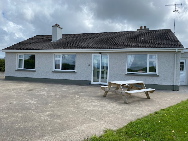 Habitation site in BuncroweyHabitation site · 1.6 mi
 Camphill Househouse · 2.9 mi
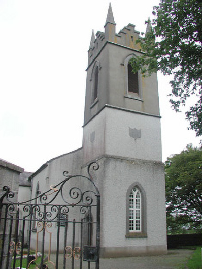 Saint Mary's Church (Kilmacshalgan)church/chapel · 2.9 mi
 Site of Dunneill CastleCastle, unclassified · 2.9 mi
 White RockNamed rock · 3.4 mi
 Ballynahowna CastleCastle, tower house · 3.5 mi
 Eamonn's TopMountain / peak · 3.8 mi
 AnnatoranMountain / peak · 4.0 mi
 DonaghHeadland · 4.2 mi
 Jim Smith MemorialMemorial · 6.4 mi
 Wild Atlantic Way: Easky PierVisitor information · 6.7 mi