
What is recorded here
Marked on both editions of the OS 6-inch map. Situated within a slight depression at the junction of two field walls. Naturally-occurring spring. The water gathers in a small, shallow pool and then flows N and NE through an area of wet, marshy ground. Adjacent to the NE of the spring is a low, circular rise (diam. c.6m; H 0.4m). The Ordnance Survey Name Books (1836, 315 (130) recorded that this was known as 'Tobar Luarain or St. Loran's Well and that it was formerly a 'station well'.
Compiled by: Patrick F. O'Donovan
Date of upload: 19 January 2011
The monument record does not grant public access. Check the route and ask the landowner before entering private land.
- What survives
- Recorded monument
Places near here
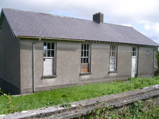 Dromard National Schoolschool · 343 yd
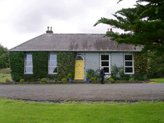 Holy Hill Hermitagehouse · 1264 yd
 IndicatedEnclosure · 1.0 mi
 Enclosure in Lavagh (tireragh By.)Enclosure · 1.1 mi
 Valley WoodForest · 1.4 mi
 Bawn in Longford DemesneBawn · 1.6 mi
 Pigeonpark WoodForest · 1.7 mi
 CloonaghMountain / peak · 1.9 mi
 Knockalongy North-East TopMountain / peak · 2.1 mi
 Giant's GraveArchaeological place · 2.5 mi
 CastleCastle, ringwork · 3.2 mi
 Dunmoran StrandBeach / strand · 3.4 mi
Other information
Photo: Credit not shown in the picture search · Rights wording not checked; contact us if this picture should be removed