What is recorded here
Situated on a N-facing terrace on the lower slopes of the Ox Mountains. Oval area (dims. 24m E-W; 16m N-S). This is divided into unequal portions by a N-S field wall, flanked on its E side by a deep drain. At the smaller portion of the site, W of this, the perimeter is defined by the remains of a collapsed stone wall (Wth. 1.4m - 3m; int. H 0.25m - 0.45m). At the larger portion only ephemeral traces of the wall are identifiable. Original entrance not recognisable. A short distance E of the field wall which divides the site is a abrupt drop in ground level (D 1.2m), the result of an artificial scarp or quarry which extends N-S for several metres. The smaller portion of the site, W of the dividing field wall, lies within a plantation of coniferous trees.
Compiled by: Patrick F. O'Donovan
Date of upload: 19 January 2011
The monument record does not grant public access. Check the route and ask the landowner before entering private land.
- What survives
- Recorded monument
Places near here
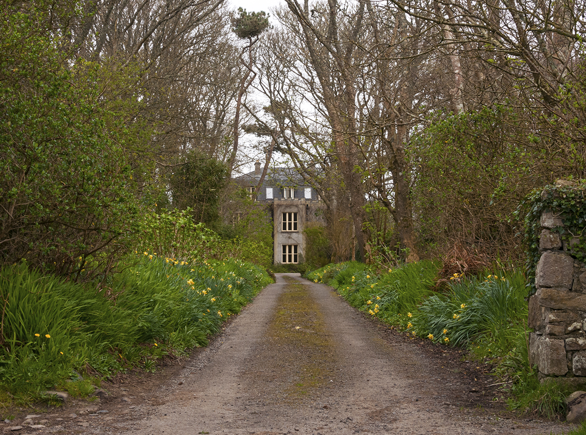 Man-made underground passage in CarrowardMan-made underground passage · 636 yd
 Valley WoodForest · 883 yd
 Pigeonpark WoodForest · 1168 yd
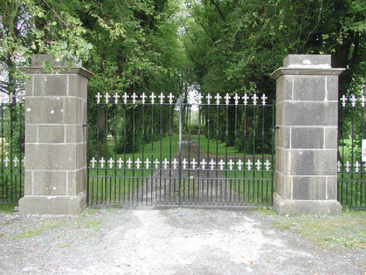 Longford Housegates/railings/walls · 1274 yd
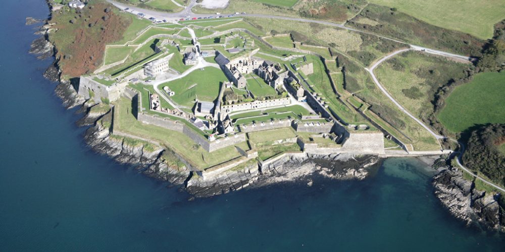 Bastioned fort in UnknownBastioned fort · 1299 yd
 Bawn in Longford DemesneBawn · 1421 yd
 forge/smithyforge/smithy · 1595 yd
 CloonaghMountain / peak · 1.2 mi
 Giant's GraveArchaeological place · 2.1 mi
 Knockalongy North-East TopMountain / peak · 2.7 mi
 CastleCastle, ringwork · 2.9 mi
 Lahanacappul IslandIslet · 3.1 mi
Other information
Photo: Credit not shown in the picture search · Rights wording not checked; contact us if this picture should be removed