
Places near here
Photo credits
- liam murphy, Wikimedia Commons · CC BY-SA 2.0
- National Inventory of Architectural Heritage
- Smirkybec, Wikimedia Commons · CC BY-SA 4.0
- Hello, I am Bruce on Flickr, Wikimedia Commons · CC BY-SA 2.0
- Colin Park, Geograph · CC BY-SA 2.0
- Kmcnamee, Wikimedia Commons · CC BY-SA 4.0
- liam murphy, Geograph · CC BY-SA 2.0
 All Saints' Church (Aghade)Church/chapel · 49 yd
Explorer Tom All Saints' Church in Aghade has two graveyards, which means twice as many things to worry about. It would bring a…
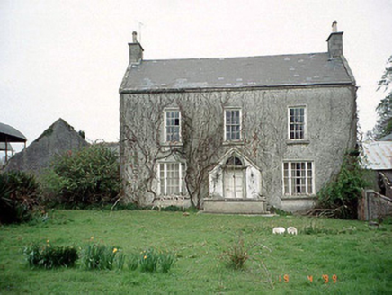 Aghade Corn MillMiller's house · 622 yd
Explorer Tom Aghade Corn Mill's house in Carrickslaney would describe the 1800s to a teenager as 'no phones, more flour'. It’s got a…
 Aghade BridgeBridge · 718 yd
Explorer Tom Aghade Bridge in Ballynoe is hump-backed and thinks it’s very special because of its keystones. There’s definitely a…
 forge/smithy794 yd
Explorer Tom The Forge or smithy in Ballynoe or Newtown smells like hot iron and bad decisions from 1825. That plaque is lying to…
 Milkpark HouseFarm house · 830 yd
Explorer Tom Milkpark House is a 1710 farmhouse with a T-shaped plan that looks like it was designed by someone who liked puzzles.…
 Ballynoe HouseHouse · 1364 yd
Explorer Tom Ballynoe House refuses to fall down even though it’s had a few extensions over the years. Make up your own legend and…
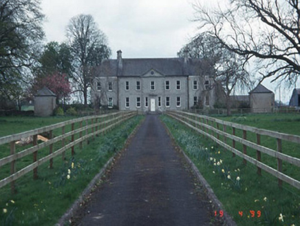 Sandbrook HouseHouse · 1549 yd
Explorer Tom Sandbrook House in Ballygarret is a Palladian dream with quadrant walls and a proper frontage. The local sheep probably…
 Catholic Church of the Immaculate ConceptionChurch/chapel · 1.4 mi
Explorer Tom Immaculate Conception in Ardattin is from 1954, which makes it the baby of the bunch and it knows it. The…
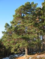 Scots Pine1.8 mi
Explorer Tom Scots Pine in County Carlow is holding a secret that would make sense if I had three more pints. It might be about a…
 Altamont Gardens MapVisitor information · 1.9 mi
Explorer Tom Altamont Gardens Map in County Carlow would bring its own compass to a party and still get lost. It’s all curves and…
 Ballon GAA pitchGAA ground · 2.8 mi
 Church (in ruins), GraveyardChurch · 4.6 mi
Explorer Tom Church, Graveyard in Templepeter is a simple rectangular structure made of large granite boulders that aren’t cored, so…
More archaeology and monuments in County Carlow · All of County Carlow

What do you know about this place?Tap to add a comment or ask a question