What is recorded here
From the National Monuments Service (Archaeological Survey of Ireland) record KE068-022007
Places near here
Photo credits
- Maker not stated on source page, monumentalireland.ie
- Maker not stated on source page, www.pinterest.com
- Maker not stated on source page, en.wikipedia.org
- Maker not stated on source page, www.irelandhighlights.com
- Colin Park, Geograph · CC BY-SA 2.0
- National Inventory of Architectural Heritage
- Maker not stated on source page, www.istockphoto.com
- Kmcnamee, Wikimedia Commons · CC BY-SA 4.0
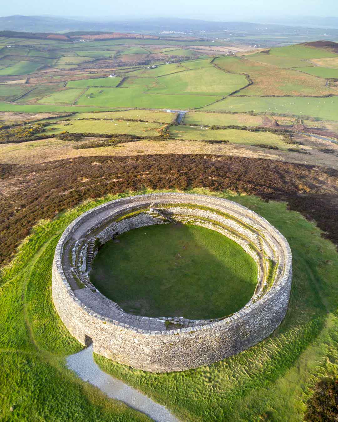 Fairy fort / earthen ringfort in Shrone MoreFairy fort / earthen ringfort · 892 yd
Explorer Tom Fairy fort / earthen ringfort in Shrone More has a bird that refuses to leave its rubble pile. The bank is haphazard…
 Enclosure in Shrone MoreEnclosure · 975 yd
Explorer Tom Enclosure in Shrone More is jealous of the road that replaced it with something actually useful for driving. It’s just…
 Fairy fort / earthen ringfort in GortderrigFairy fort / earthen ringfort · 1315 yd
Explorer Tom Fairy fort / earthen ringfort in Gortderrig is sick of being asked if it's haunted. It just wants some quiet time on…
 Standing stone in GortderrigStanding stone · 1.0 mi
Explorer Tom Standing stone in Gortderrig is split down the middle, looking like it lost an argument with its own twin. Rumor has it…
 Standing stone in Shrone BegStanding stone · 1.1 mi
Explorer Tom Standing stone in Shrone Beg started because two lads bet they could move a boulder before their breath ran out. It’s…
 Standing stone in GortacareenStanding stone · 1.6 mi
Explorer Tom Standing stone in Gortacareen was once six feet tall, which means two lads definitely bet on its height back in the day…
 The Paps WestMountain / peak · 1.9 mi
Explorer Tom The Paps West has been in a furious fairy dispute over parking rights with the clouds for the last three centuries. The…
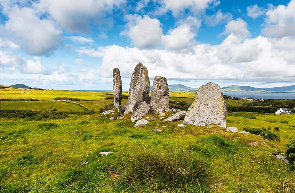 Standing stone in Annagh BegStanding stone · 3.5 mi
Explorer Tom Standing stone in Annagh Beg is jealous it doesn’t have a proper name like its famous cousin down the road. It just…
Standing stone in CoolcurtogaStanding stone · 3.8 miExplorer Tom Standing stone in Coolcurtoga is hiding in the gorse like a very prickly secret. The shortcut through there isn’t a…
 Nohoval BridgeBridge · 4.3 mi
Explorer Tom Nohoval Bridge is solid rubble with cut-stone voussoirs that probably cost a fortune back in the day. It’s a testament…
 Church in Nohaval DalyChurch · 4.7 mi
Explorer Tom Church in Nohaval Daly is just grass-covered mounds that locals call 'The Little Church', which sounds like a pet name…
 Glenflesk GAA pitchGAA ground · 4.8 mi
More archaeology and monuments in County Kerry · All of County Kerry

What do you know about this place?Tap to add a comment or ask a question