
What is recorded here
On a gentle SE-facing slope. Area is currently a landscaped public amenity. Entrance with gate from the road and a trackway leds to the well. Well is called 'Tobar Iosa' (Jesus' Well). According to Power (1908, 23) inc. 1843 the swamp surrounding the well was drained, however, he goes on to say that 'rounds' were 'made here from time immemorial'. According to the sign at the entrance to the well, erected in 1993, the well's Pattern Day was on Christmas Eve and this was observed up to the end of the 19th century. Also at the gate at the entrance to the well there is a crudely carved stone cross. Power (1908, 23) records that this was carved by Roger Sheehy who was aged 80 c. 1908. The well is key-hole shaped in plan. The main well is roughly oval in shape (diam. c. 1.6m NE-SW; 1.85m NW-SE) enclosed by a wall (T 0.49-0.59m; int. H 1.25m; ext. H 0.25m) with an outflow into a roughly rectangular pool. This outflow is constructed using two gutter-stones, upper stone placed upside-down on the lower. The rectangular pool (dims. 1.45-1.78m NW-SE; 2.05m NE-SW), is also enclosed by a stone wall (T 0.39m; int. H 1.05m; ext. H 0.5m), which widens towards the SE. Water exits from the rectangular pool via an overflow in SE wall, an flows as a small stream to join a larger stream c. 20m to SE. The oval well has steps down to the water in SW quad. The water at time of inspection was clear and 0.17m D. There are two modern shrines NW of the well, containing statues and prayers, though the smaller, more elaborate, shrine also contains an incised cross-slab (TS075-044002-) which is flanked on both sides by roughly shaped sandstone stones.
Compiled by: Jean Farrelly
Date of upload: 26 August 2011
Linked to Saint Joseph (Iosa in Irish), the well is traditionally associated with healing and protection. Local folklore suggests that the waters were particularly sought after for curing ailments of the eyes and for general spiritual cleansing.
The monument record does not grant public access. Check the route and ask the landowner before entering private land.
- What survives
- Recorded monument
Places near here
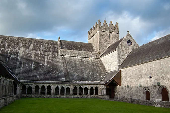 Enclosure in Caherabbey UpperEnclosure · 749 yd
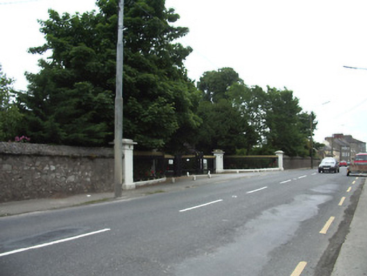 Cahir Abbeygates/railings/walls · 796 yd
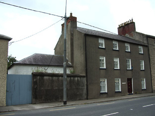 Abbey Lodgehouse · 903 yd
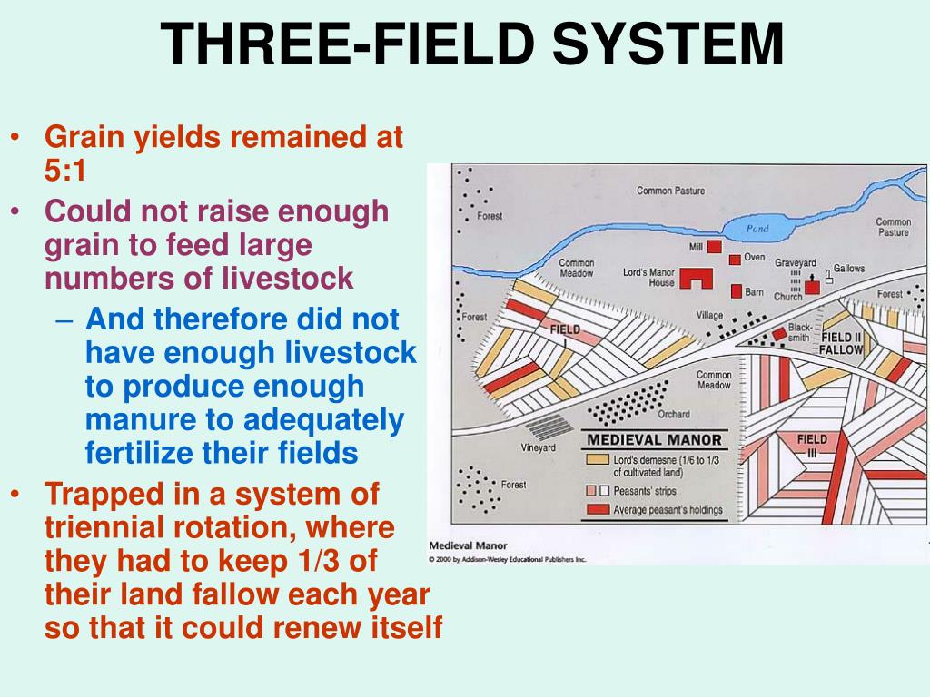 Field system in Caherabbey LowerField system · 990 yd
 Caher AbbeyHeritage attraction · 1031 yd
 Site of CastleCastle, unclassified · 1139 yd
 Siege of Cahir Castlesiege · 1284 ydCahir CastleHeritage attraction · 1564 yd
 Pedunculate OakPedunculate Oak · 1.6 mi
 Bawn in CloghabreedyBawn · 1.7 mi
 European YewEuropean Yew · 2.0 mi
 Slieveanard NE TopMountain / peak · 2.3 mi
Other information
Photo: Credit not shown in the picture search · Rights wording not checked; contact us if this picture should be removed