What is recorded here
Holy Well in County Cork has stopped being holy. Two modern concrete troughs hold water for farm work and household use, while a second well marked on an 1842 map lies seventy metres south along the laneway. The sacred edge has thinned into utility, yet the water still collects, flows and sustains ordinary life.
No longer in holy use. Two modern concrete troughs now retain water for agricultural and domestic use. Another holy well (CO151-027002-), shown only on OS 6-inch map (1842), was located 70m to S along laneway.
The above description is derived from the published 'Archaeological Inventory of County Cork. Volume 1: West Cork' (Dublin: Stationery Office, 1992). In certain instances the entries have been revised and updated in the light of recent research.
Date of upload/revision: 14 January 2009
Images provided by and copyright of Amanda Clarke 2016-2022 https://holywellscorkandkerry.com/
The monument record does not grant public access. Check the route and ask the landowner before entering private land.
- What survives
- Recorded monument
Places near here
 Carraigín Na SúlViewpoint · 511 yd
 Fall DownWaterfall · 665 yd
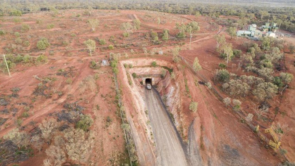 Test Hole for Copper MineMonument · 736 yd
 The SpringSpring · 767 yd
 Kilcloonagh Burial Gd (Disused)Burial ground · 828 yd
 Tráigh LiceachBeach / strand · 979 yd
 Giant's GraveArchaeological place · 1172 yd
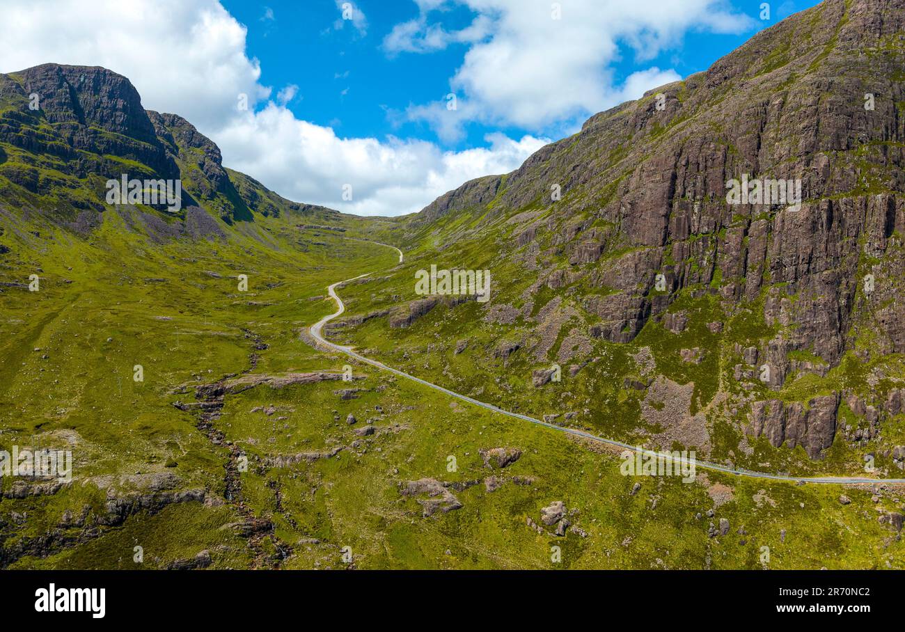 Bealach (pass)Viewpoint · 1379 yd
 Tráigh na nDabhchaBeach / strand · 1437 yd
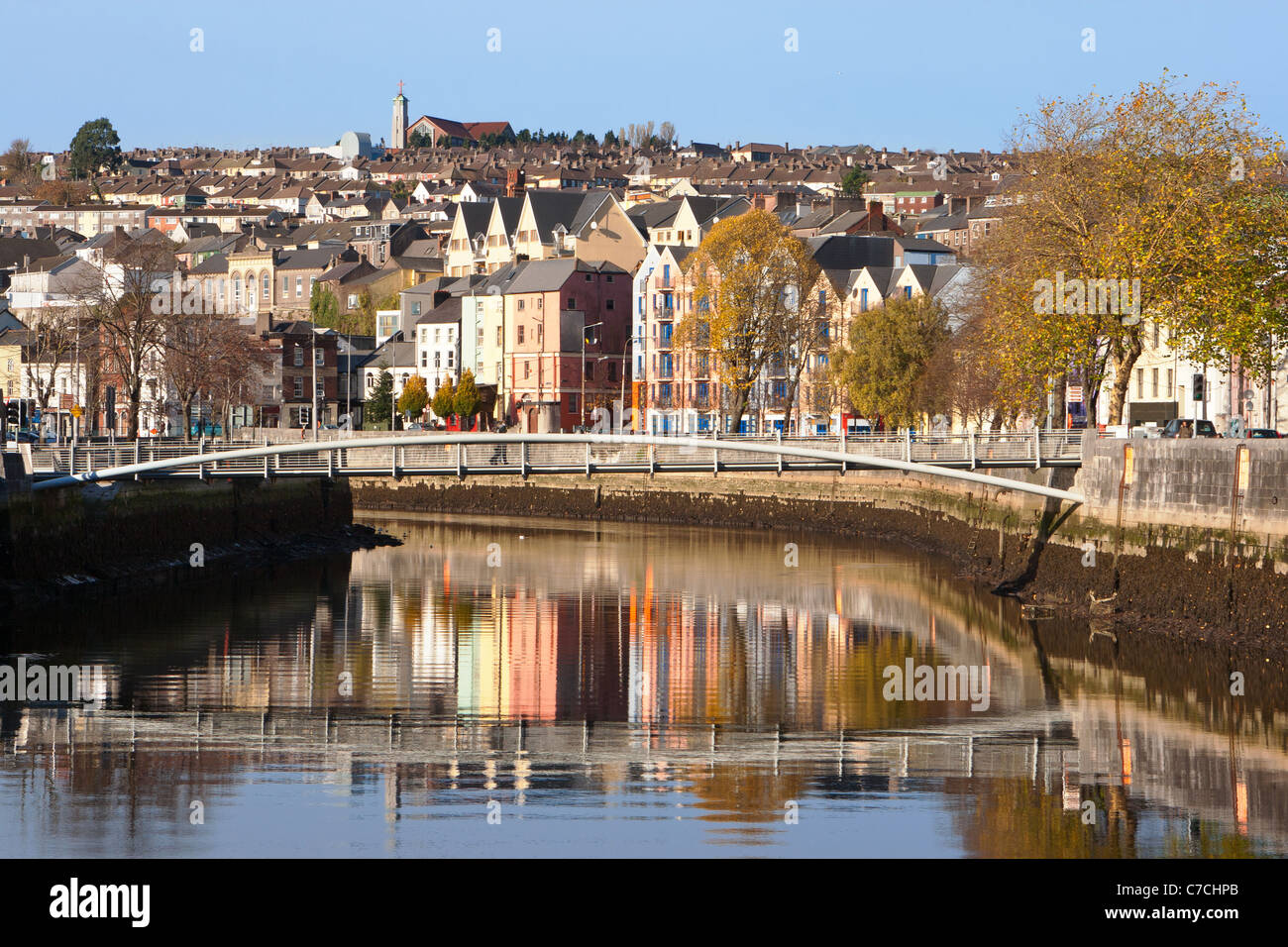 An GoibínHeadland · 1465 yd
 Port a’ DúnaRuins · 1593 yd
 Suí FinnMountain / peak · 1.1 mi