
What is recorded here
From OpenStreetMap (© OpenStreetMap contributors) n6464687370
Places near here
Photo credits
- Maker not stated on source page, www.flickr.com
- Mike Searle, Geograph · CC BY-SA 2.0
- Maker not stated on source page, www.pinterest.com
- National Inventory of Architectural Heritage
- Kmcnamee, Wikimedia Commons · CC BY-SA 4.0
- sarah777, Wikimedia Commons · CC BY-SA 2.0
- Maker not stated on source page, www.laoistoday.ie
- Maker not stated on source page, tr.pinterest.com
- Maker not stated on source page, ru.pinterest.com
- Garry Dickinson, Wikimedia Commons · CC BY-SA 2.0
- Maker not stated on source page, en.m.wikipedia.org
- Maker not stated on source page, www.dreamstime.com
 Curragh WoodWood · 524 yd
Explorer Tom Curragh Wood in County Laois thinks those Dublin tourists are just noisy pigeons who forgot how to walk quietly or…
 Emo CourtFolly · 943 yd
Explorer Tom The Emo Court folly is basically a fancy garden toy from the eighteenth century. When nobody’s looking, it’s probably…
 Oak FallWood · 991 yd
Explorer Tom Oak Fall in County Laois was saved by a local hero who once pushed a giant acorn out of the way to save a butterfly.…
 Woodbrook HouseGate lodge · 1.2 mi
Explorer Tom Woodbrook House gate lodge holds the world record for the most dignified way to do absolutely nothing since 1880. It…
 Emo GAA pitchGAA ground · 1.3 mi
 Saint Paul's Catholic ChurchChurch/chapel · 1.3 mi
Explorer Tom Saint Paul's Catholic Church in Killimy is a Gothic Revival beauty from 1870 that thinks tourists from Dublin are all…
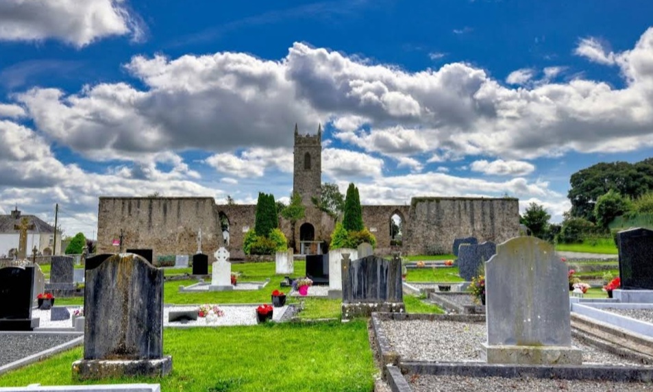 Mapped graveyardGraveyard · 1.3 mi
Explorer Tom Apparently this Mapped Graveyard in Laois has an imaginary fan club that sends it handwritten letters every week…
 Fairy fort / earthen ringfort in GarryvacumFairy fort / earthen ringfort · 1.7 mi
Explorer Tom Fairy fort / earthen ringfort in Garryvacum claims it’s older than the hills, which is probably a lie. It was once…
 New Cemetery Emo.Graveyard · 1.8 mi
Explorer Tom New Cemetery Emo. has a feud with the next village over who planted the weirdest flowers last spring. It’s been…
 Tinnakill Castle (in Ruins)Castle, tower house · 1.9 mi
Explorer Tom Tinnakill Castle was designed by a mother-in-law who thought four storeys wasn't enough to keep everyone separate. The…
 Blackhall bridge picnic areaPicnic place · 1.9 mi
Explorer Tom Blackhall bridge picnic area in County Laois is always jealous of the famous tourist spots down the road. It sits by…
 Fairy fort / ringfort in RathleashFairy fort / ringfort · 2.0 mi
Explorer Tom The dog in charge of Rathleash is probably a terrier who thinks he’s the king of this invisible subcircular empire. He…
More mountains and hills in County Laois · All of County Laois

What do you know about this place?Tap to add a comment or ask a question