What is recorded here
Situated on a gentle S/SE-facing slope overlooking the River Slaney. A small borough associated with an episcopal manor appears to have been located at Donaghmore in the thirteenth century but was abandoned in the early fourteenth century. The motte at Castleruddery (WI021-033----) may have formed part of the complex. There are no remains of the church (WI021-069001-) or of any other part of the town at ground level. (Bradley and King 1989, 33-7)
The above description is derived from the published 'Archaeological Inventory of County Wicklow' (Dublin: Stationery Office, 1997). In certain instances the entries have been revised and updated in the light of recent research.
Date of upload/revision: 17 December 2008
The monument record does not grant public access. Check the route and ask the landowner before entering private land.
- What survives
- Recorded monument
Places near here
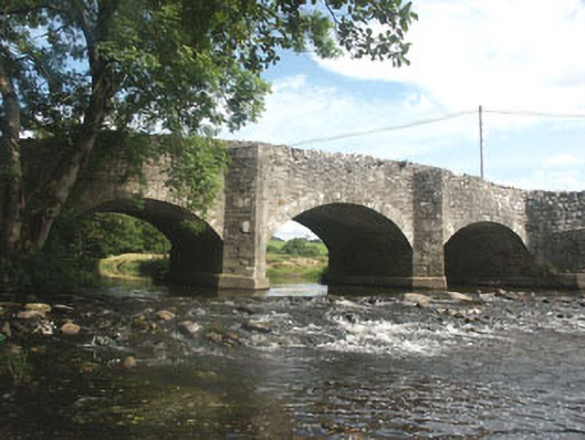 Ballyhubbock Bridgebridge · 262 yd
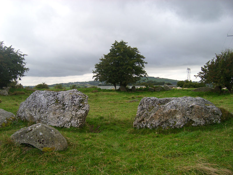 CastleCastle, motte · 266 yd
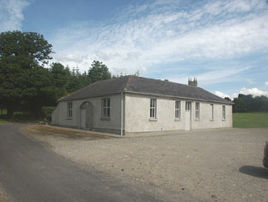 Donaghmore National Schoolschool · 430 yd
 Site of CastleCastle, unclassified · 441 yd
 Druidical CircleStone circle, embanked · 679 yd
 Enclosure in Castleruddery LowerEnclosure · 984 yd
 English hollyEnglish holly · 1698 yd
 Saint Brigit's ChairNamed rock · 2.4 mi
 Ballyhook HillMountain / peak · 2.5 mi
 Saint Brigit's Mass StoneNamed rock · 2.5 mi
 Pedunculate OakPedunculate Oak · 2.7 mi
 Sam McAllistair GraveMemorial · 2.9 mi