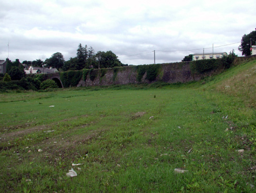
What is recorded here
Sections of random rubble stone walls, c.1800, with cut-stone plaque, 1999, and rubble stone vertical coping. Sited flanking road.
These sections of walls, which form an extension of the parapets of the bridge to south-west (22505029/WD-15-05-29), are an attractive feature of the streetscape, and are assimilated into the landscape through the construction in unrefined, locally-sourced random rubble stone work.
This does not grant access. Most recorded buildings are privately owned; view them only from public ground unless the owner allows entry.
Places near here
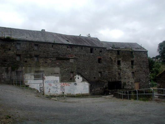 mill (water)mill (water) · 59 yd
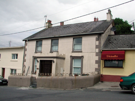 Ard na Greineschool · 62 yd
 Site of Cas.Castle, unclassified · 70 yd
 8 Arch GalleryGallery · 104 yd
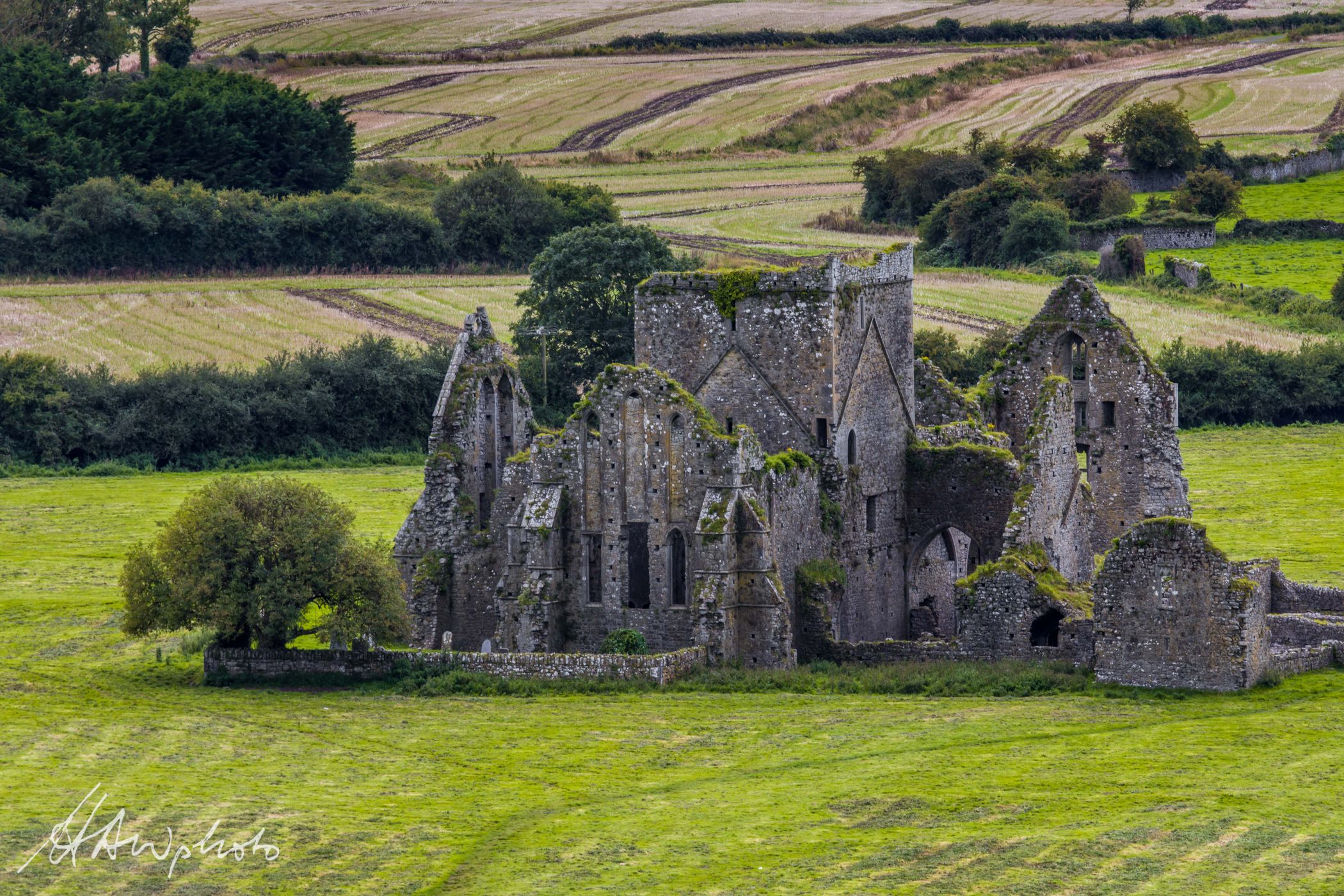 Burnt mound in GraigueshoneenBurnt mound · 652 yd
 Site of ChurchChurch · 843 yd
 Castle (in ruins)Castle, unclassified · 1.2 mi
 Croughaun HillMountain / peak · 3.1 mi
 Crough WoodWood · 3.8 mi
 Kilclooney WoodForest · 4.0 mi
 Magic Road (finish)Heritage attraction · 4.5 mi
 St. Bernard's WellSpring · 5.0 mi
Other information
Photo: National Inventory of Architectural Heritage · Website use allowed for educational or private purposes with source credit