What is recorded here
Around the summit of a low hill (101.5m OD) surrounded by flat pasture (77m OD), with excellent views in all directions. The E edge of the site was located along the old townland boundary with Garryduff. Enclosure (LI023-134----) located 200m to NE. The site is not depicted on historic OSi maps but is visible on both the OSi orthoimage taken 2005-12 and Digital Globe orthophotos taken 2011-2013. Identified by ASI aerial photographic survey 2002 (ASIAP (330) 7, 8, 9 and 10) as an enclosure (ext. dims. c. 150m N-S; 125m E-W). Two relic N-S field boundaries are located within the enclosure and a further E-W field boundary is also present inside the monument. The N end of the enclosure is defined by a sharp break in slope above the hillside, the E side is located along an old road that is now disused. The SE edge of the site is defined by steeply sloping rock outcrop. The enclosure is visible on the most recent Google Earth orthoimage taken 28/06/2018 and on other Google Earth orthoimages.
See attached ASI survey image showing the enclosure, Google Street View 2011 and Google Earth orthoimage
Compiled by: Edmond O’Donovan
Date of upload: 3 September 2020
The monument record does not grant public access. Check the route and ask the landowner before entering private land.
- What survives
- Recorded monument
Places near here
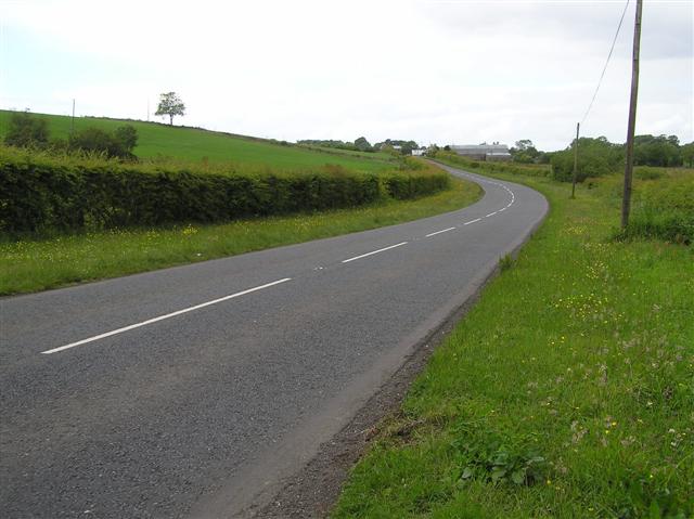 Enclosure in Garryduff (clanwilliam By.)Enclosure · 288 yd
 Site of TemplemichaelChurch · 1021 yd
 Boskill Ho.Country house · 1064 yd
 Track of King Williams RoadRoad, road/trackway · 1065 yd
 Caherconlish Castle (site of), HachuredCastle, ringwork · 1517 yd
 Caherconlish Ho.Castle, tower house · 1616 yd
 St Lawrence's WellSpring · 1.9 mi
 Graveyard in AbingtonGraveyard · 3.7 mi
 KnockseefinMountain / peak · 4.4 mi
 St. Patrick's WellSpring · 4.8 mi
 Kilteely HillMountain / peak · 5.1 mi
 Sliev Felim WayVisitor information · 5.1 mi