
What is recorded here
In pasture, 380m SSE of the village of Caherconlish and 370m SW of Boskill House (LI014-082----). Annotated ‘Track of King William's Road’ on the 1840 OS 6-inch map where it is depicted running E-W for a length of 260m. According to the Ordnance Survey this road was also known as 'The Hag's Road' or 'The Stony Road' and was described as following; 'King William's Road, so called because the King travelled on it to Limerick, was levelled about the year 1789, and during the levelling process a great number of coins were found by the workmen' (OSNB Caherconlish Parish, 302). Old roadway visible today as a fosse (Wth. 2.2m; D 0.2-0.6m) which runs alongside a field boundary to the S. It crosses the field boundary mid-way along the field but is not visible in the field to the N. There is a possible terminus at the E. Cropmark of trackway visible on Digital Globe orthoimage taken 2011-2013 to the S of a field boundary.
See attached Google Earth orthoimages taken 28/06/2018 and 05/04/2006
Compiled by: Martin Fitzpatrick
Date upload: 6 July 2020
The monument record does not grant public access. Check the route and ask the landowner before entering private land.
- What survives
- Recorded monument
Places near here
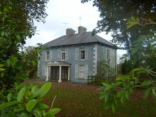 Brook Villahouse · 245 yd
 Site of TemplemichaelChurch · 263 yd
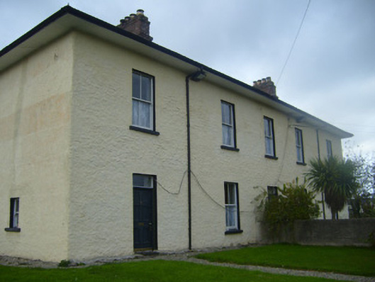 BrookvilleRIC barracks · 300 yd
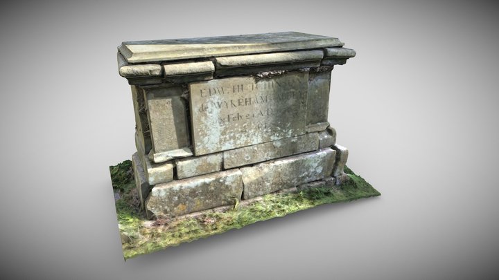 TombTomb, chest tomb · 495 yd
 Caherconlish Castle (site of), HachuredCastle, ringwork · 505 yd
 OutlinedCastle, unclassified · 650 yd
 St Lawrence's WellSpring · 1.5 mi
 Graveyard in AbingtonGraveyard · 3.4 mi
 KnockseefinMountain / peak · 4.9 mi
 Sliev Felim WayVisitor information · 4.9 mi
 St. Patrick's WellSpring · 5.4 mi
 Kilteely HillMountain / peak · 5.7 mi
Other information
Photo: Credit not shown in the picture search · Rights wording not checked; contact us if this picture should be removed