
What is recorded here
A large broad, oval area (dims. 140m N-S; 120m E-W) around the top of the hill at Rathmichael is enclosed by a low, wide earth and stone bank with a narrow V-shaped fosse (Wth 1.6m; D 0.4m). The bank is defaced W-N-E being best preserved in the SW and S (Wth 3.3m; H 0.6m) where it joins a modern field boundary. It has an external stone facing made up of shattered stone fragments, which are strewn over the hilltop. A univallate ringfort (DU026-048002-) lies within the interior. (Anon 1900, 187; Healy 1975, 1-19; Turner 1983, 95)
Compiled by: Geraldine Stout and Padraig Clancy.
Revised upload on: 15 April 2018.
A local fairy fort (ringfort/rath); wider significance not recorded.
The monument record does not grant public access. Check the route and ask the landowner before entering private land.
- What survives
- Recorded monument
Places near here
 Rathmichael WalkWalking route · 211 yd
 Bawn in RathmichaelBawn · 293 yd
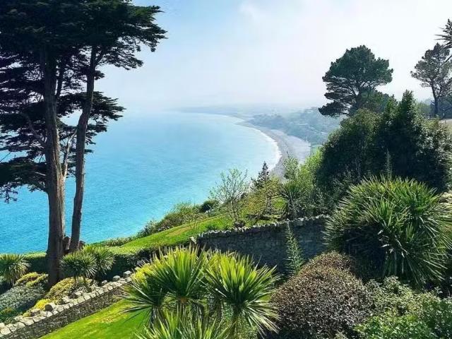 Well in RathmichaelWell · 303 yd
 Puck's CastleCastle · 326 yd
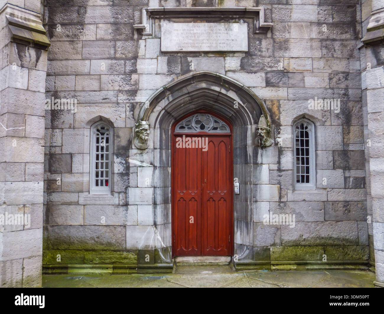 Ecclesiastical enclosure in RathmichaelEcclesiastical enclosure · 607 yd
 Rathmichael ChurchChurch · 678 yd
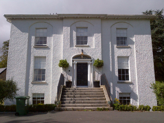 Shankill Housecountry house · 824 yd
 Carrickgollogan HillMountain / peak · 1477 yd
 Barnaslingan - Pine loop trailWalking route · 1.1 mi
 Loughlinstown WoodsNature reserve · 1.5 mi
 Monterey CypressMonterey Cypress · 1.7 mi
 Graveyard in BallymanGraveyard · 1.8 mi
Other information
Photo: Credit not shown in the picture search · Rights wording not checked; contact us if this picture should be removed