What is recorded here
On Rathmichael Hill, a circular fort sits inside a larger hillfort, its low stone-and-earth bank facing outward with large boulders. The flat interior slopes gently eastward beneath mature pines, while a double-banked trackway leaves the eastern entrance and climbs down to the lower bank. People may have lived there, tended fires, or marked territory, but the stones give no name and the pines swallow every shadow.
The ringfort is located on the summit of Rathmichael Hill in the centre of a hillfort (DO026-048001-). The site comprises a circular, flat area (ext. diam. 34m) defined by a low wide earth and stone bank (Wth 3m; H 0.8m) faced with large boulders. The interior slopes from W to E with mature pine trees growing within it. An entrance (Wth 4m) in the ESE has a double-banked trackway leading from it to the lower bank of the hillfort (Healy 1975, 1-19; Turner 1983, 95).
Compiled by: Geraldine Stout and Padraig Clancy.
Revised upload on: 15 April 2018.
The monument record does not grant public access. Check the route and ask the landowner before entering private land.
- What survives
- Recorded monument
Places near here
 Hillfort in RathmichaelHillfort · 2 yd
 Rathmichael WalkWalking route · 210 yd
 Bawn in RathmichaelBawn · 295 yd
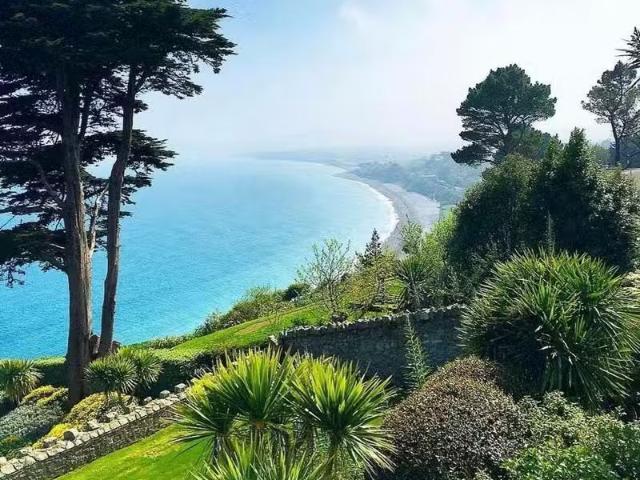 Well in RathmichaelWell · 305 yd
 Puck's CastleCastle · 328 yd
 Rathmichael ChurchChurch · 679 yd
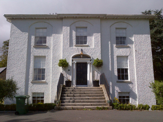 Shankill Housecountry house · 823 yd
 Carrickgollogan HillMountain / peak · 1477 yd
 Barnaslingan - Pine loop trailWalking route · 1.1 mi
 Loughlinstown WoodsNature reserve · 1.5 mi
 Monterey CypressMonterey Cypress · 1.7 mi
 Graveyard in BallymanGraveyard · 1.8 mi