
What is recorded here
Encircling the base of Knigh Hill proper. This univallate hillfort, identified by Manning (1983, 48), is now largely levelled. It is described as a large circular area (diam. 230m) enclosed by a bank and external fosse, formerly best preserved at N and defined by field boundaries along the S and W (ibid.). The N portion has subsequently been reclaimed and the enclosing bank and fosse levelled. A possible trace of the fosse is visible at W. At the centre of the hillfort there is a cairn (TN014-033001-) with a conjoined mound. Geophysical survey (O'Driscoll 2012) has identified that Knigh hillfort is probably bivallate.
The hillfort was recently described in the Atlas of Hillforts of Britain and Ireland as following; 'Multiple enclosure following natural contours, surrounding S summit of isolated steep dome-shaped hill surrounded by low-lying terrain. Hillfort overlooks Lough Eorna to E and Dromineer Bay is visible to W. Geophysical survey (O'Driscoll 2012) has identified that Knigh hillfort is probably bivallate. It has a total site foot print of 5.4ha. There are no recorded entrance features in either enclosing element. A cairn and conjoined mound are positioned at the centre of the hillfort. Geophysical survey has identified a number of small pit features distributed throughout the interior and two possible structures. The enclosing elements are levelled are and are only visible in aerial photography. The site was first identified by Manning (1983) and O'Driscoll surveyed the monument in 2012. Enclosing elements levelled and visible on aerial photography. Formerly best preserved at the N and defined by field boundary on S and W (Manning 1985, 48). It comprises a bank and external ditch. This was confirmed by geophysical survey (O'Driscoll 2012). Both first and second edition Ordnance Survey mapping suggest that the inner defences were partially incorporated into a field system at its SW, which is still present today. A possible second enclosing element was identified at the N, approximately 54m from the inner enclosing element (O'Driscoll 2012). Modern track overlying possible outer enclosing elements at SE and NE.' (http://hillforts.arch.ox.ac.uk/records/IR0712.html)
The above description is derived from 'The Archaeological Inventory of County Tipperary. Vol. 1 - North Tipperary' compiled by Jean Farrelly and Caimin O'Brien (Dublin: Stationery Office, 2002). In certain instances the entries have been revised and updated in the light of recent research.
Compiled by: Jean Farrelly and Caimin O'Brien
Revised by: Caimin O'Brien
Date of revised upload: 7 February 2020
The monument record does not grant public access. Check the route and ask the landowner before entering private land.
- What survives
- Recorded monument
Places near here
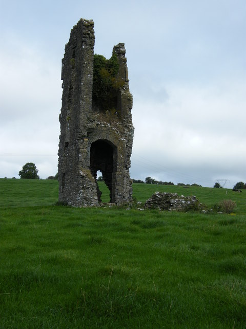 Knigh CastleCastle · 668 yd
 Knigh Castle (in ruins)Castle, tower house · 668 yd
 Knigh HillMountain / peak · 815 yd
 Enclosure in KnighEnclosure · 844 yd
 CaherbewlyFairy fort / stone ringfort · 846 yd
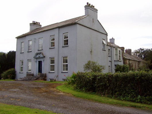 Lisduffhouse · 1051 yd
 Knigh Church (in Ruins)Church · 1054 yd
 Goose IslandIslet · 2.8 mi
 Dromineer BayBay · 3.3 mi
 James Devaney MemorialMemorial · 3.5 mi
 Connaught BayBay · 3.6 mi
 Old BarracksHeritage attraction · 3.6 mi
Other information
Photo: Credit not shown in the picture search · Rights wording not checked; contact us if this picture should be removed