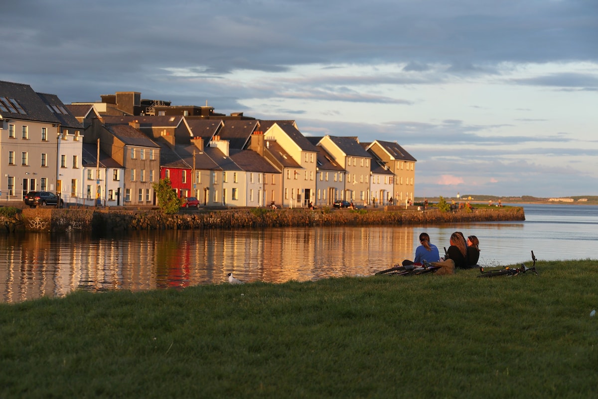
What is recorded here
On the summit of a prominent hill (OD 520 ft), overlooking Lough Rea c. 1.3km to the NW. Aerial reconnaissance in February 1986 (ASGAP 267:8) revealed this poorly preserved roughly oval hillfort (c. 200m E-W; c. 150m N-S) which is defined by a bank (Wth across the top c. 1.5m; int. H c. 0.6m) from N to E and by a scarp from E to SE and from W to N; otherwise no visible surface trace of the enclosing element survives. Several modern field boundaries cut across the monument. A field system (GA105-087----) abuts it at NE. Beglan (2014, 313-14) suggests that the hillfort may have been reused as a 'secondary lodge' when the high medieval deer park (GA105-236----) was established.
Compiled by: Galway Archaeological Survey, UCG
Updated by: Olive Alcock
Date of revised upload: 15 October 2020
A local fairy fort (ringfort/rath); wider significance not recorded.
The monument record does not grant public access. Check the route and ask the landowner before entering private land.
- What survives
- Recorded monument
Places near here
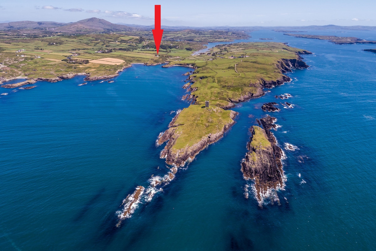 TobermacduaghHoly well · 1340 yd
 Enclosure in Killeenadeema EastEnclosure · 1396 yd
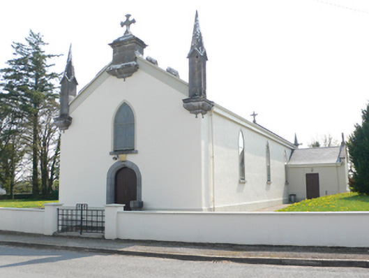 Saint Mary's Catholic Churchchurch/chapel · 1.0 mi
 R.C. Chapel and School Ho.Chapel · 1.1 mi
 Stone Islands SouthIslet · 1.1 mi
 Island McCooIslet · 1.3 mi
 Long PointHeadland · 1.3 mi
 Ballynamantragh CastleCastle, unclassified · 2.1 mi
 Castle (in ruins)Castle, tower house · 3.0 mi
 Dartfield Horse MuseumHeritage attraction · 4.4 mi
 Scalpeen RockNamed rock · 4.7 mi
 Derrybrien Bog SlideHeritage attraction · 6.3 mi
Other information
Photo: Credit not shown in the picture search · Rights wording not checked; contact us if this picture should be removed