What is recorded here
The following description is derived from the published 'Archaeological Inventory of County Carlow' (Dublin: Stationery Office, 1993). In certain instances the entries have been revised and updated in the light of recent research.
Date of upload/revision: 17 July 2007
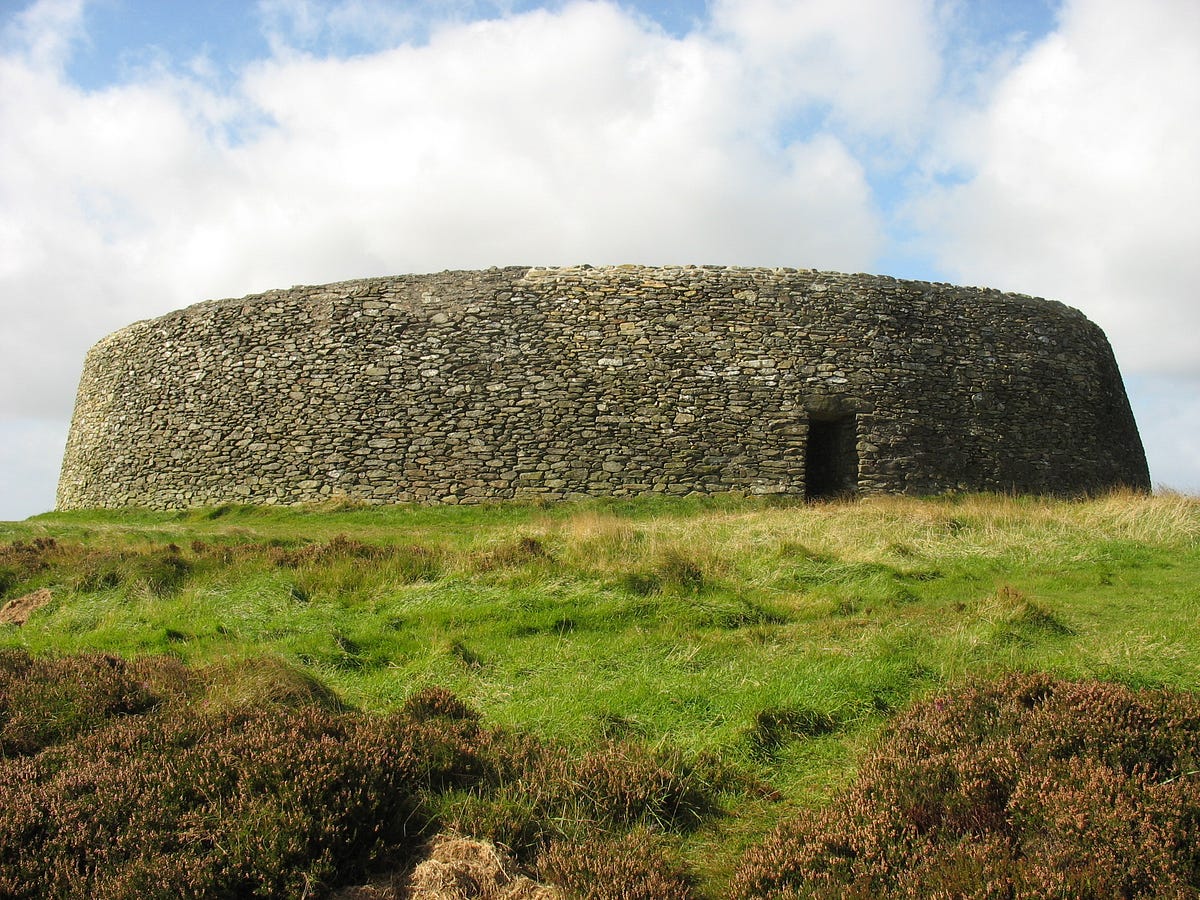
Subcircular area on summit of hill enclosed by double bank with intervening ditch, best preserved at SE, elsewhere defined by scarp lying outside modern field wall (max. H of scarp at WNW 3m; W-S graded and reseeded; not visible at NE). Berm at top of scarp is flat (Wth c. 2.5m). Level berm also exists in places at foot of scarp. Interior has been graded. Slight lynchet has formed upslope of field wall giving impression of slight scarp and bank. (max. dims. c 267m NW-SE x 225m NE-SW, max. Wth of double bank c 13m.) (Carloviana 1986, 8-9)
A local fairy fort (ringfort/rath); wider significance not recorded.
The monument record does not grant public access. Check the route and ask the landowner before entering private land.
- What survives
- Recorded monument
Places near here
 Saint Lazarian's Catholic Churchchurch/chapel · 470 yd
 Enclosure in Kilcumney (idrone East By.)Enclosure · 598 yd
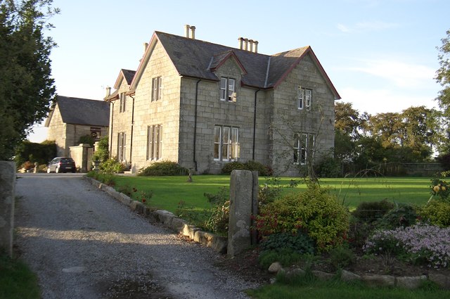 Lorum Rectoryrectory/glebe/vicarage/curate's house · 1179 yd
 CrossCross, High cross · 1332 yd
 Site of CastleCastle, unclassified · 1566 yd
 Ballyloughan Castle (in ruins)Castle, Anglo-Norman masonry castle · 2.0 mi
 Wych ElmWych Elm · 2.8 mi
 Carrig WoodWood · 3.4 mi
 The Columban WayVisitor information · 3.6 mi
 Lock Keeper's House and Lodge MillsVisitor information · 3.7 mi
 Church (in ruins), GraveyardChurch · 3.8 mi
 Lorum Church (in ruins)Church · 1313 yd
Other information
Photo: Credit not shown in the picture search · Rights wording not checked; contact us if this picture should be removed