What is recorded here
In 2002, archaeological excavation (Licence No. 02E1088) was carried out on behalf of Westmeath County Council at Moyvalley 1, Co. Kildare, before the construction of the M4 Kinnegad-Enfield- Kilcock Motorway Scheme. One hearth and four oxidised features, possibly hearths, were excavated. The largest was an oval cut, measuring 1.5m east-west by 0.7m by 0.25m deep. Its sides were almost vertical, with a gradual break of slope at the base, leading to a generally flat base, which sloped from east to west. Both sides and base were noticeably oxidised. The fill was moderately compact, mid-brown, clayey silt. It contained only occasional stone (around 10% of the deposit; mostly sub-angular pebbles) and occasional to moderate amounts of charcoal (mostly flecking but with a number of larger pieces). No finds or faunal remains were recovered, but the charcoal returned a radiocarbon date of cal. 360 BC to AD 70. The remaining features survived only as oxidised patches of clay, without charcoal or cultural material, and were 0.2-0.5m in diameter. (www.excavations.ie)
Compiled by: Gearóid Conroy
Date of upload: 10 June 2011
The monument record does not grant public access. Check the route and ask the landowner before entering private land.
- What survives
- Recorded monument
Places near here
 More O’Ferrall Celtic CrossMonument · 545 yd
 Moyvally Bridgebridge · 623 yd
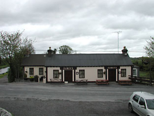 Furey'shouse · 636 yd
 Site of CastleCastle, unclassified · 822 yd
 Enclosure in Ballinderry (moyfenrath Lower By.)Enclosure · 1475 yd
 Bawn in Newcastle (moyfenrath Lower By.)Bawn · 2.4 mi
 Croppies' GraveMemorial · 3.4 mi
 Common LimeCommon Lime · 4.2 mi
 European BeechEuropean Beech · 4.3 mi
 The Grill ShackHeritage attraction · 7.1 mi
 Mass was there in Penal TimesMemorial · 10 mi
 Candle HillMountain / peak · 19 mi