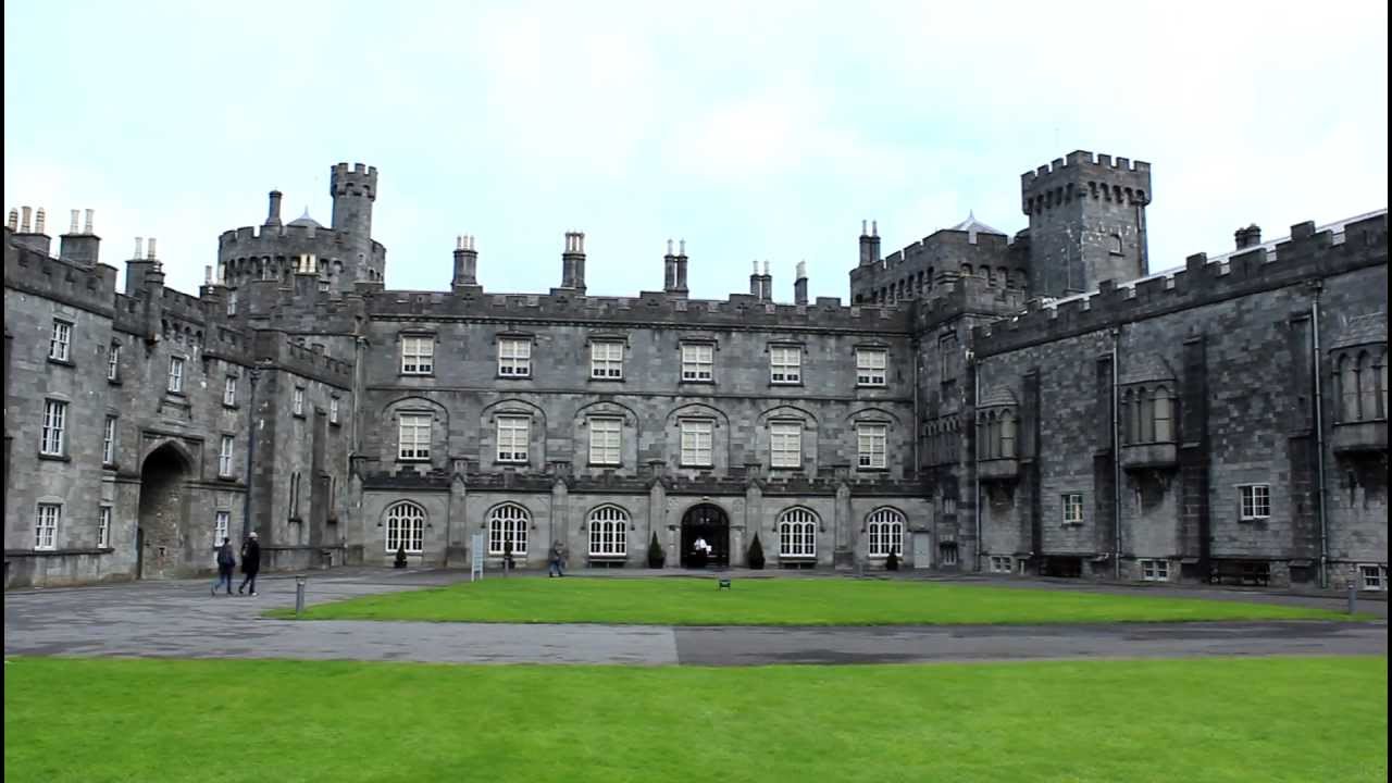
What is recorded here
On E-facing slope in marshland. There are good views to NE-E-S. A raised circular area (diam. 31.5m N-S) defined by a scarp (H 2-3m lowest at the SE and highest at the W), which rises slightly at the perimeter, and a wide deep fosse (Wth 2m) which is waterlogged from SE-E-NE. The interior slopes to the ESE. There is a clearly defined causewayed entrance (Wth 2m) at the ESE. Mature beech trees grow around the perimeter.
Compiled by: Jean Farrelly
Date of upload: 7 July 2020
A local fairy fort (ringfort/rath); wider significance not recorded.
The monument record does not grant public access. Check the route and ask the landowner before entering private land.
- What survives
- Recorded monument
Places near here
 Saint Brigid's Catholic Churchchurch/chapel · 136 yd
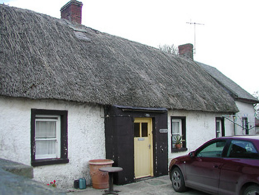 The Thatchhouse · 721 yd
 Grave YardGraveyard · 939 yd
 Enclosure in BallycallanEnclosure · 1304 yd
 Ballykeeffe Mass RockNamed rock · 1.1 mi
 Saint Brigid's WellSpring · 1.3 mi
 Ballykeefe WoodForest · 1.5 mi
 Ballykeefe QuarryCliff · 1.7 mi
 Ballykeefe AmphitheatreHeritage attraction · 1.8 mi
 Castle (in ruins)Castle, unclassified · 2.1 mi
 Millennium WoodWood · 2.2 mi
 Site of CastleCastle, unclassified · 2.4 mi
Other information
Photo: Credit not shown in the picture search · Rights wording not checked; contact us if this picture should be removed