What is recorded here
On undulating pasture south of a disused quarry, townland boundary with Gardenhill lies 30m to E. The site is described from cartographic and aerial photographic evidence only. Depicted as a circular-shaped enclosure on the 1840 ed. OS 6-inch map with trig. station marking 137 ft. OD in the centre. Shown as a D-shaped area (approx. dims. 28m E-W x 34m N-S) with straight side (approx. L 26m) at N enclosed by a bank on 1897 OS 25-inch map which indicates that the shape of the monument has been modified on the N side between the two map dates. Outline of tree-covered monument visible on Digital Globe orthophotos taken 2011-13.
See attached Google Earth orthoimages
Compiled by: Edmond O’Donovan
Date of upload: 11 July 2020
A local fairy fort (ringfort/rath); wider significance not recorded.
The monument record does not grant public access. Check the route and ask the landowner before entering private land.
- What survives
- Recorded monument
Places near here
 Fulacht fia in GortnalahaghFulacht fia · 1250 yd
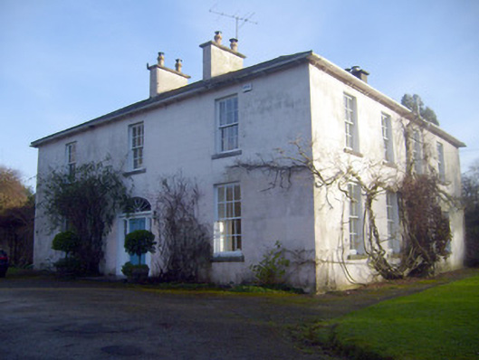 Gardenhill Housecountry house · 1305 yd
 Enclosure in SallymountEnclosure · 1333 yd
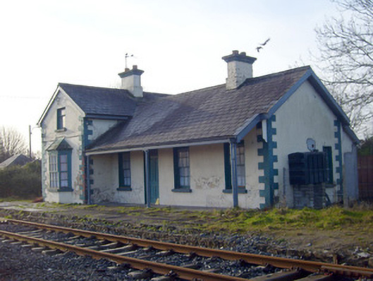 Lisnagry Railway Stationrailway station · 1.0 mi
 CastleCastle, unclassified · 1.1 mi
 Castle ConnellRuins · 1.8 mi
 Campus MapVisitor information · 4.0 mi
 Visitor CentreVisitor information · 4.0 mi
 Fountain SculptureHeritage attraction · 4.1 mi
 Old PumpHeritage attraction · 4.4 mi
 Graveyard in AbingtonGraveyard · 4.7 mi
 The Pollagh TrailNature reserve · 5.7 mi