What is recorded here
Situated immediately N of a field boundary on a gentle N-facing slope in fairly flat pasture with good views to W and S. The monument, depicted on the 1924 OS 6-inch map as a sub-circular area (c. 70m SW-NE; c. 70m E-W) enclosed by a bank and surrounded by a field wall, survives as a sub-circular area (57m N-S; 57m E-W) enclosed by a bank (int. H 0.1m; Wth 2.2m; ext. H 0.8m) constructed mainly of stones. The interior slopes down gently to the S and E from a height in the W.
Compiled by: Denis Power
Date of upload: 27 March 2013
The monument record does not grant public access. Check the route and ask the landowner before entering private land.
- What survives
- Recorded monument
Places near here
 Enclosure in RoxboroughEnclosure · 284 yd
 Mound in RoxboroughMound · 861 yd
 CastleCastle, unclassified · 964 yd
 Ballyclogh Househouse · 1233 yd
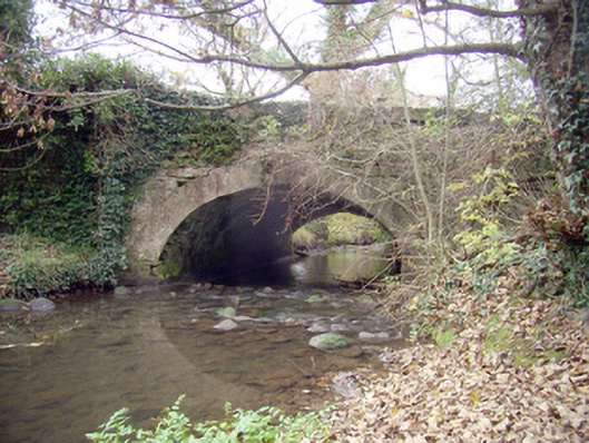 Roxborough Bridgebridge · 1306 yd
 Lickadoon Castle (in ruins)Castle, tower house · 1.4 mi
 Visitor CentreVisitor information · 4.7 mi
 Fountain SculptureHeritage attraction · 4.7 mi
 Campus MapVisitor information · 4.8 mi
 Graveyard in AbingtonGraveyard · 8.5 mi
 Grass IslandIslet · 9.0 mi
 Maiden RockNamed rock · 9.2 mi