
What is recorded here
Hachured fort is a ruined earthen ring in County Longford, still holding its shape on a gentle slope despite losing most of its height. It may have been a small dwelling place, a boundary marker, or a forgotten ritual site, but the division of its interior and the hidden entrance suggest more than a random heap of soil. The land has taken back most of what was built there, leaving only a faint circle and a suggestion of rooms behind the grass.
On a gentle E-facing slope in pasture. A slightly raised circular area (diam. c. 34m) enclosed by a partially denuded, low bank of earth and stone (Wth 3.7m; H 0.4m) with traces of a very shallow external fosse (Wth 1.4-1.5m; D 0.15m). A report in 1976 (SMR file) recorded that the original entrance may have been at E and that the interior was divided into unequal portions by a substantial bank of earth and stone. These features are no longer visible at ground level.
Compiled by: Patrick F. O'Donovan
Date of upload: 26 August 2011
The monument record does not grant public access. Check the route and ask the landowner before entering private land.
- What survives
- Recorded monument
Places near here
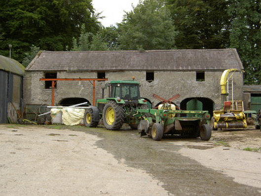 Tully Houseoutbuilding · 1151 yd
 Field system in Deerpark (shrule By.)Field system · 1383 yd
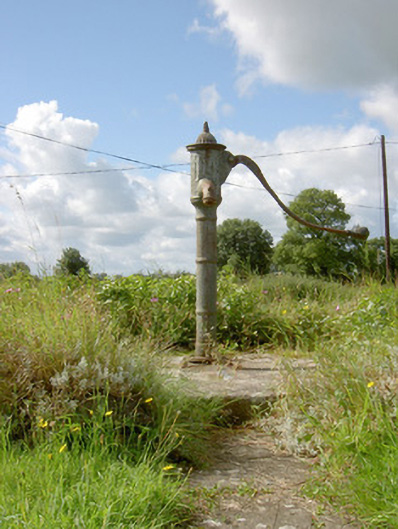 water pumpwater pump · 1560 yd
 IndicatedFairy fort / earthen ringfort · 1736 yd
 CastleCastle, motte · 1.0 mi
 European BeechEuropean Beech · 1.8 mi
 Not locatedCastle, unclassified · 2.0 mi
 Pedunculate OakPedunculate Oak · 2.0 mi
 Abbeyshrule AbbeyRuins · 3.0 mi
 Goldsmith Birthplace, PallasVisitor information · 3.9 mi
 Newcastle WoodsForest · 4.3 mi
 National Famine WayWalking route · 4.4 mi
Other information
Photo: Credit not shown in the picture search · Rights wording not checked; contact us if this picture should be removed