
What is recorded here
Situated on well drained pasture land with good views of the surrounding countryside. The site of Rathdrum Castle (OF009-029001-) is situated on top of a circular mound which may been the remains of an Anglo-Norman motte. Alternatively this circular flat-topped mound may have been a natural hillock which was scarped…
Read the whole record
From the National Monuments Service (Archaeological Survey of Ireland) record OF009-029002
Places near here
Photo credits
- Maker not stated on source page, ch.pinterest.com
- Maker not stated on source page, fity.club
- National Inventory of Architectural Heritage
- Maker not stated on source page, commons.wikimedia.org
- Maker not stated on source page, www.dreamstime.com
- Maker not stated on source page, www.geograph.ie
- Maker not stated on source page, www.aerlingus.com
- Maker not stated on source page, www.pinterest.com
 Stone head in RathdrumStone head · 6 yd
Explorer Tom Stone head in Rathdrum was once ruled by a goat who thought he was the king of the mound. Now it’s just part of the…
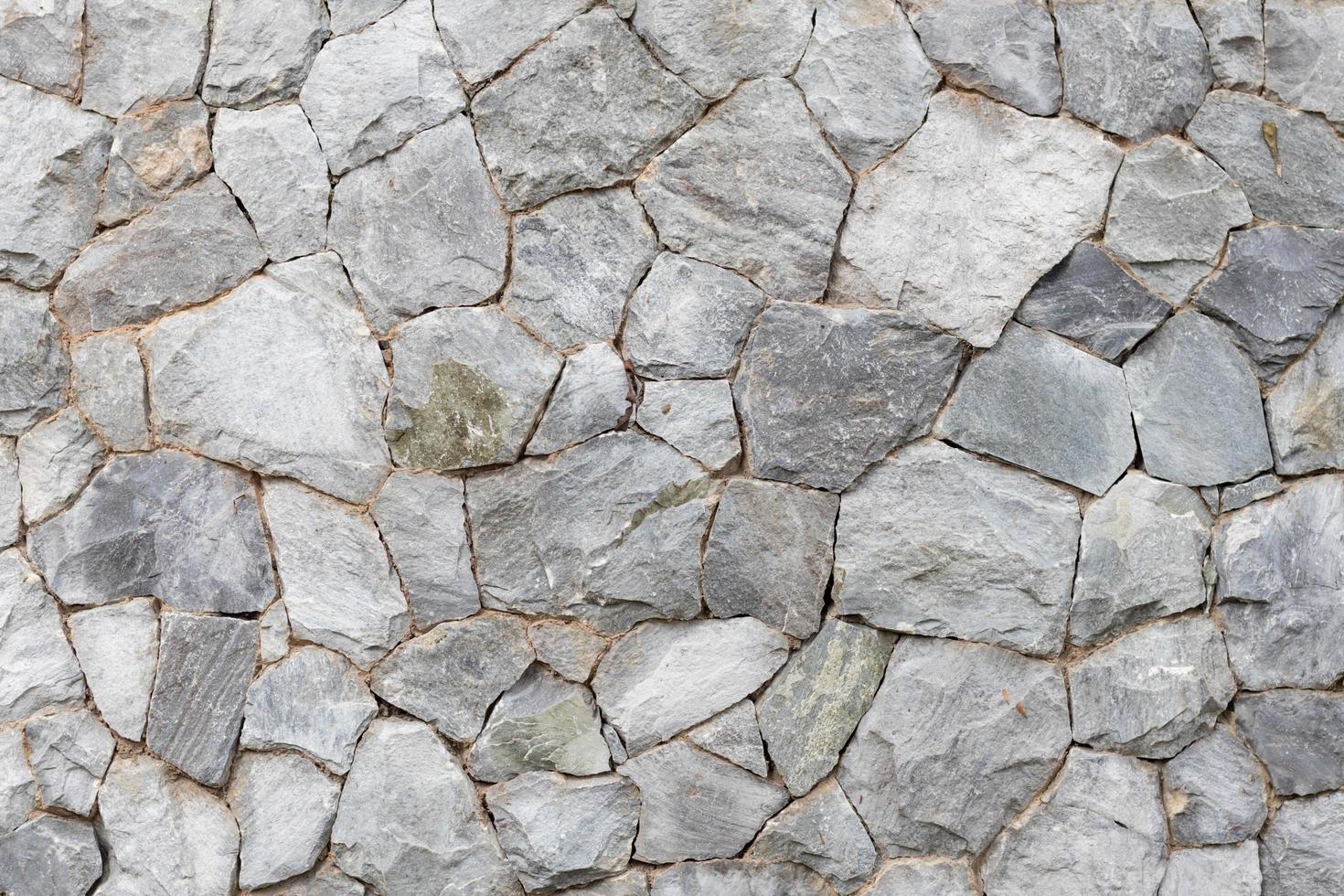 Stone head (present location) in RathdrumStone head (present location) · 41 yd
Explorer Tom Stone head in Rathdrum would order the biggest portion of chips they had at any chippy in town. It’s plastered into the…
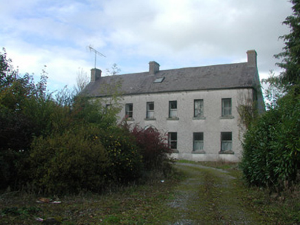 Kilmurry HouseHouse · 1643 yd
Explorer Tom Kilmurry House in Kilmurry is an eighteenth-century relic that’s been through so many alterations it probably has more…
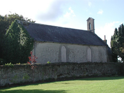 Saint Francis's Church (Ballycommon)Church/chapel · 1708 yd
Explorer Tom Saint Francis's Church (Ballycommon) is sitting there boarded up and overgrown, looking like it’s waiting for the heat…
 Church in BallycommonChurch · 1711 yd
Explorer Tom Church in Ballycommon has been hiding a scandal for centuries, probably involving a priest who couldn't stop betting on…
 Graveyard1715 yd
Explorer Tom Graveyard in County Offaly is hiding a treasure that is definitely an old biscuit tin buried under a rock. Someone must…
 Ballycommon Church (C of I), site ofArchaeological place · 1720 yd
Explorer Tom Ballycommon Church (C of I), Site of in County Offaly hates visitors who arrive late and complain about the parking…
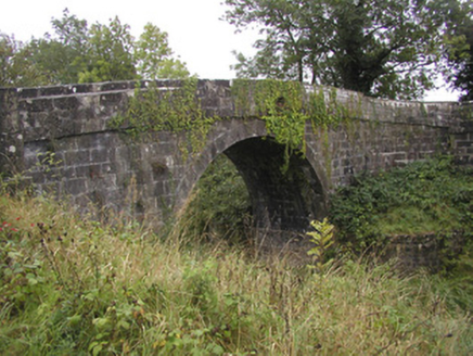 Odlum's BridgeBridge · 1.0 mi
Explorer Tom Odlum's Bridge in Ballyteige sings 'Bridge Over Troubled Water' because it is literally doing that job all day. The…
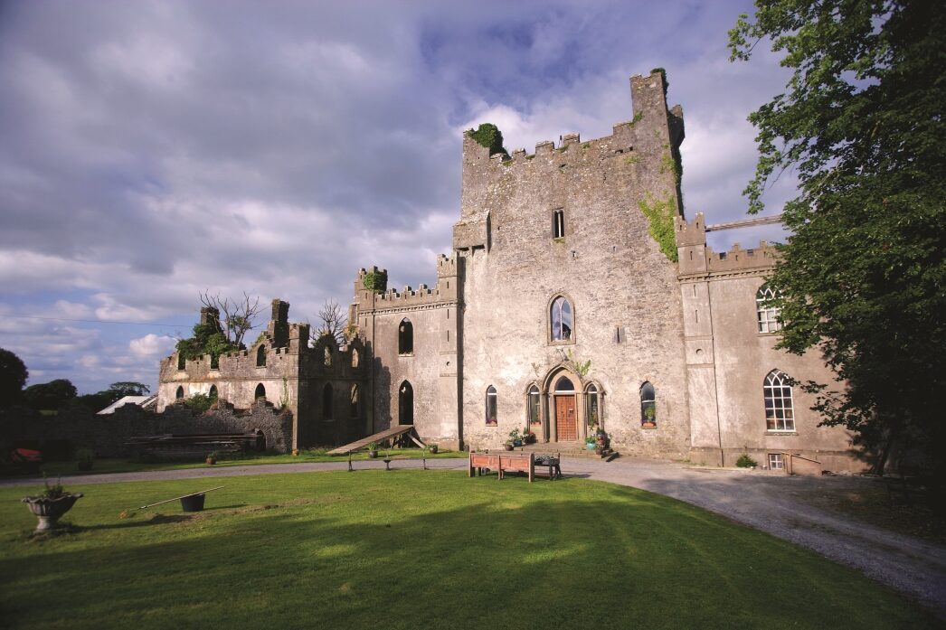 CastleCastle, unclassified · 1.2 mi
Explorer Tom Ballycommon Castle in Ballycommon is unlocated, which means it’s playing hide-and-seek with the surveyors and losing…
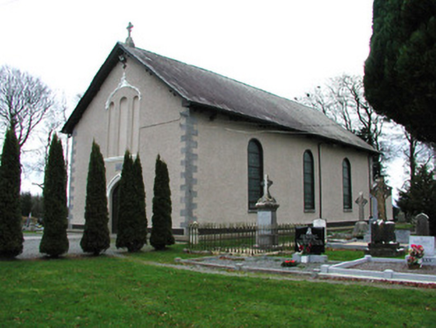 Catholic Church of Saint Francis of Assisi and Saint BrigidChurch/chapel · 1.3 mi
Explorer Tom Catholic Church of Saint Francis of Assisi and Saint Brigid in Ballyteige Little is sitting by the Kilbeggan branch of…
 Tong's BridgeBridge · 1.3 mi
Explorer Tom Tong's Bridge in Wood Of O tells the modern replacement that it was born with better manners and nicer stone. It’s part…
 Bracklin Castle (in Ruins)Castle, tower house · 2.2 mi
Explorer Tom Bracklin Castle in Bracklin Big is haunted by the ghost of a poet who fell in the ditch nearby. It’s just two low walls…
More castles and forts in County Offaly · All of County Offaly

What do you know about this place?Tap to add a comment or ask a question