What is recorded here
Rockbarton Demesne holds the northernmost of three hidden habitation sites, buried beneath grassland and former bog. Men cutting turf in 1941 broke through the quiet surface and scattered twenty pottery fragments before the place vanished from memory again. The land keeps its own counsel, giving up only enough to remind us that living rooms and hearths once warmed the dark.
In grassland on former bogland of Rockbarton Demesne. The most northern of three habitation sites (LI031-080001/0002-) discovered in 1941 during turf cutting at Rockbarton bog (Mitchell and Ó Ríordáin 1942, 255). Described by Mitchell and Ó Ríordáin as ‘a destroyed site’ with 20 fragments of pottery (ibid.). The monument is not visible on aerial photography.
See attached location map of the 3 habitation sites – marked Site I by Mitchell and Ó Ríordáin.
Compiled by: Fiona Rooney
Date of upload: March 2021
The monument record does not grant public access. Check the route and ask the landowner before entering private land.
- What survives
- Recorded monument
Places near here
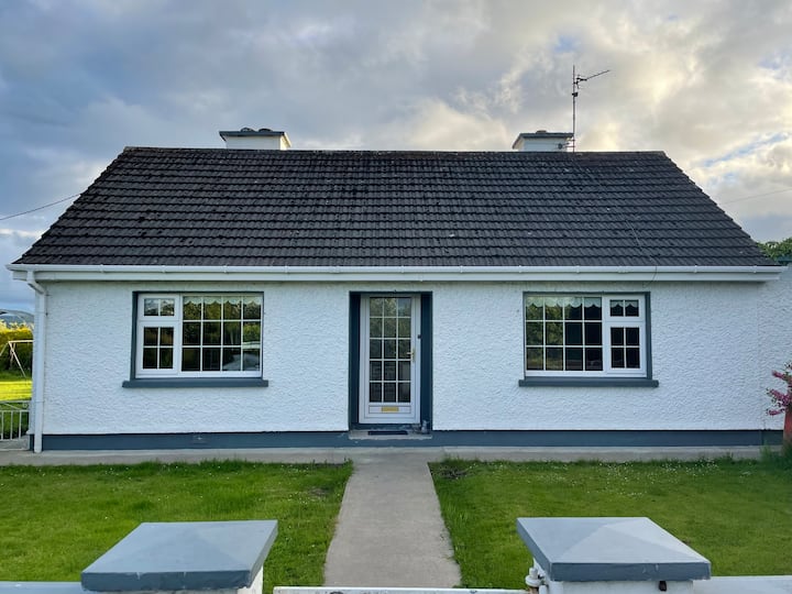 Habitation site in Rockbarton (coshma By.)Habitation site · 103 yd
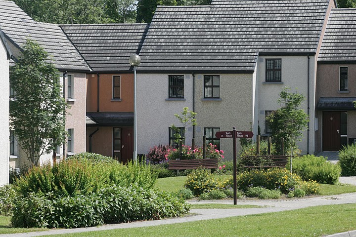 Settlement cluster in Raheen (coshma By.)Settlement cluster · 365 yd
 Rockbarton Housecountry house · 462 yd
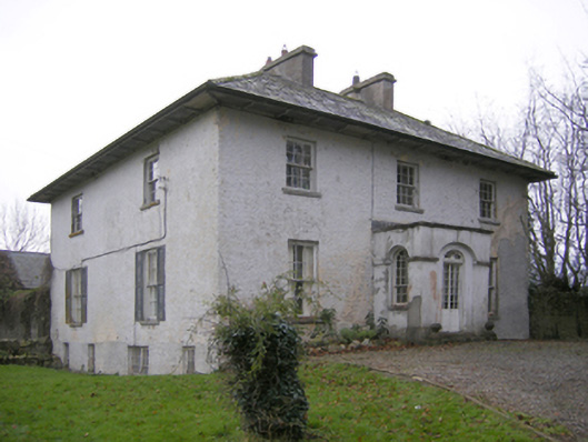 Glebe Houserectory/glebe/vicarage/curate's house · 1044 yd
 CastleCastle, unclassified · 1111 yd
 Bawn in Grange (smallcounty By.)Bawn · 1200 yd
 Lough GurVisitor information · 1324 yd
 Grange Stone CircleArchaeological place · 1363 yd
 Pedunculate OakPedunculate Oak · 1.7 mi
 The SpectaclesVisitor information · 1.9 mi
 Lough Gur Heritage CentreVisitor information · 1.9 mi
 KnockainyMountain / peak · 3.8 mi