What is recorded here
In grassland on former bogland of Rockbarton Demesne. The central one of three habitation sites (LI031-080001/0002-) discovered in 1941 during turf cutting at Rockbarton bog (Mitchell and Ó Ríordáin 1942, 23-24). Described by Mitchell and Ó Ríordáin as ‘an area of 12 sq. m. and was centred on a pillow-shaped mass of burnt stones about 100cm. in diameter and 25 cm. thick’ with finds of pottery, a flint scraper and unidentified burnt bone fragment (ibid.). The monument is not visible on aerial photography.
See attached plan of the site marked Site II by Mitchell and Ó Ríordáin.
Compiled by: Fiona Rooney
Date of upload: 23 March 2021
The monument record does not grant public access. Check the route and ask the landowner before entering private land.
- What survives
- Recorded monument
Places near here
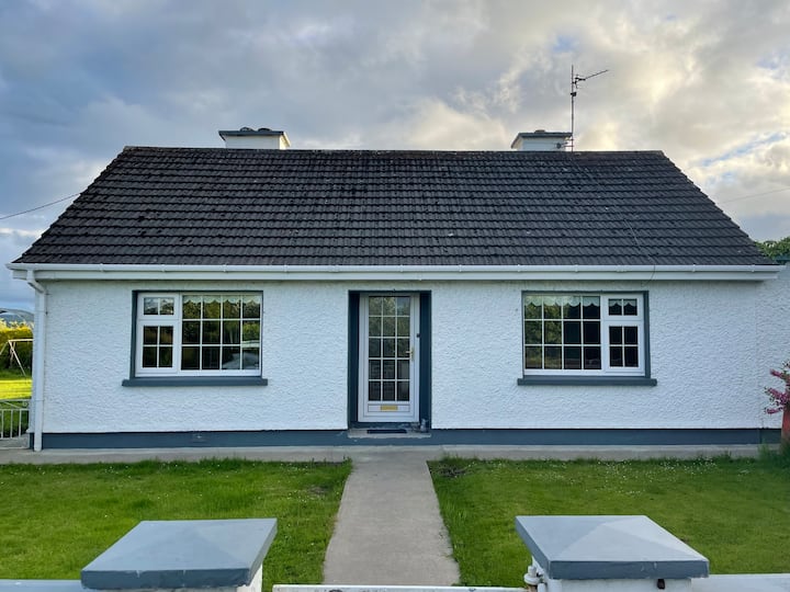 Habitation site in Rockbarton (coshma By.)Habitation site · 79 yd
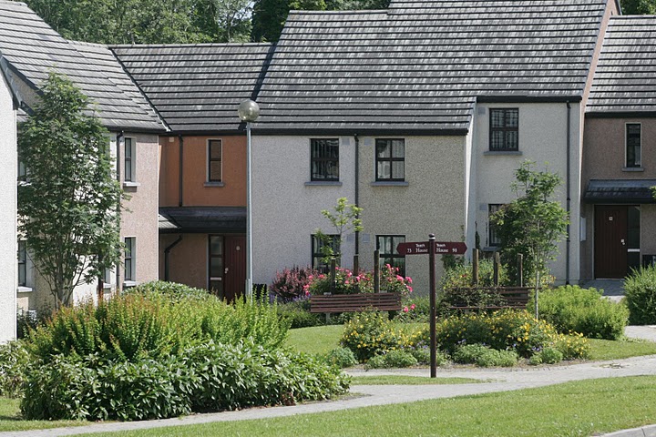 Settlement cluster in Raheen (coshma By.)Settlement cluster · 391 yd
 Rockbarton Housecountry house · 441 yd
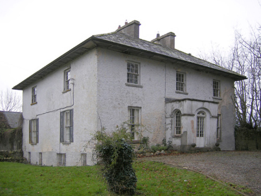 Glebe Houserectory/glebe/vicarage/curate's house · 1046 yd
 CastleCastle, unclassified · 1101 yd
 Bawn in Grange (smallcounty By.)Bawn · 1235 yd
 Lough GurVisitor information · 1355 yd
 Grange Stone CircleArchaeological place · 1394 yd
 Pedunculate OakPedunculate Oak · 1.7 mi
 The SpectaclesVisitor information · 1.9 mi
 Lough Gur Heritage CentreVisitor information · 1.9 mi
 KnockainyMountain / peak · 3.8 mi