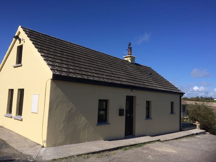
What is recorded here
Situated in a W-E coastal valley open to the sea c. 200m to the E. The Bally Lough research team identified this site initially through a midden visible in a section. An area of c. 60m2 was excavated (E000347) by S. W. Green, who recovered over 2000 lithics and revealed a rough floor (dims. 5m x 5m) and a possible hearth indicative of a Later Mesolithic culture. (Green 1986, 5-7; Green et al. 1988)
Green, S. W. (1987) Excavation report. The Flynn site, Knockavalish townland. Unublished report. DAHG.
Green, S. W., Moore, J. and Zvelebil, M. (1988) Knockavelish; Later Mesolithic site, in I. Bennett (Ed.) Excavations 1987: summary accounts of excavations in Ireland, 29-30. Wordwell. Dublin.
The above description is derived from the published 'Archaeological Inventory of County Waterford' (Dublin: Stationery Office, 1999). In certain instances the entries have been revised and updated in the light of recent research.
Compiled by: Michael Moore
Date of upload/revision: 10 June 2011
The monument record does not grant public access. Check the route and ask the landowner before entering private land.
- What survives
- Recorded monument
Places near here
 Knockavelish HeadHeadland · 377 yd
 Fornaght StrandBeach / strand · 516 yd
 Field system in FornaghtField system · 891 yd
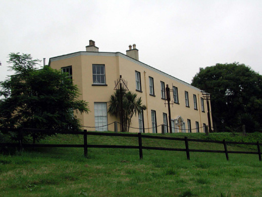 Ballyglan Housecountry house · 1142 yd
 Island Viewgates/railings/walls · 1211 yd
 IndicatedField boundary · 1356 yd
 Fairy Bush Forenaught LoopWalking route · 1486 yd
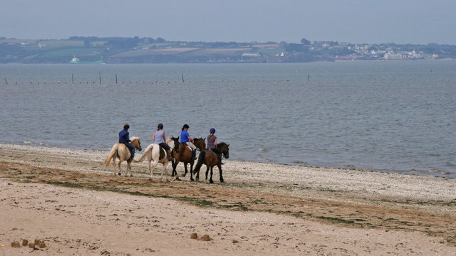 Woodstown StrandBeach / strand · 1.0 mi
 The Black Woman's RoadWalking route · 1.1 mi
 Newtown HeadHeadland · 1.8 mi
 Castle in ruinsCastle, Anglo-Norman masonry castle · 2.1 mi
 Lost at Sea Memorial WallMemorial · 2.5 mi
Other information
Photo: Credit not shown in the picture search · Rights wording not checked; contact us if this picture should be removed