
What is recorded here
Situated in a slight col on an ENE-WSW ridge. The cropmark enclosure (WA027-08001-) has elements of a field system attached visible as a cropmarks on aerial photographs (MM (47) 10-13; (60) 31-3; WA027-080_1A to _7A).
Compiled by: Michael Moore
Date of upload/revision: 10 June 2011
The monument record does not grant public access. Check the route and ask the landowner before entering private land.
- What survives
- Recorded monument
Places near here
 Island View, FORNAGHTgates/railings/walls · 323 yd
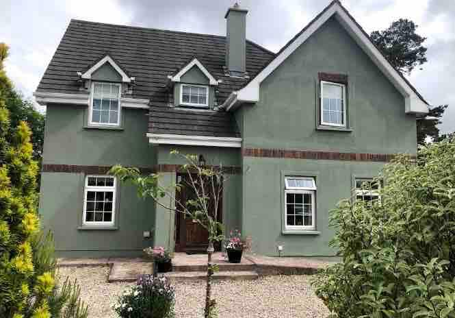 Habitation site in FornaghtHabitation site · 523 yd
 Fairy Bush Forenaught LoopWalking route · 635 yd
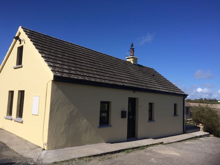 Habitation site in KnockavelishHabitation site · 891 yd
 Fornaght StrandBeach / strand · 1212 yd
 Fairy Bush LoopWalking route · 1226 yd
 Knockavelish HeadHeadland · 1267 yd
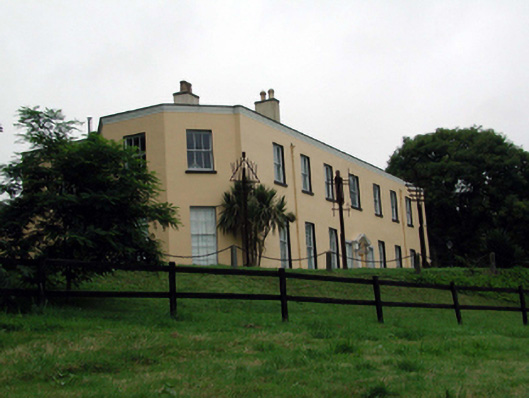 Ballyglan Housecountry house · 1327 yd
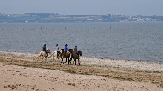 Woodstown StrandBeach / strand · 1.4 mi
 Castle in ruins, DunmoreCastle, Anglo-Norman masonry castle · 1.7 mi
 Lost at Sea Memorial WallMemorial · 2.2 mi
 Newtown HeadHeadland · 2.2 mi
Other information
Photo: Credit not shown in the picture search · Rights wording not checked; contact us if this picture should be removed