What is recorded here
Situated in a slight col between low hills c. 300m to the E, c. 500m to the W and Knockaveelish Hill c. 700m to the N, with a small W-E stream c. 600m to the S. The Bally Lough research team identified this location (BL235) as an area of intense activity, probably of Neolithic date, where 251 artifacts were collected in field-walking. A stone pavement and shell midden were revealed by excavation (E000349) in 1986 when almost 500 lithic artefacts, including a Bann flake, were recovered. (Green et al. 1987)
Green, S. W., Moore, J. and Zvelebil, M. (1987) Fornaght Strand, Monvoy and Knockavelish; Mesolithic /Neiolithic sites, in C. Cotter (Ed.) Excavations 1986: summary accounts of excavations in Ireland, 3-4. Wordwell. Dublin.
The above description is derived from the published 'Archaeological Inventory of County Waterford' (Dublin: Stationery Office, 1999). In certain instances the entries have been revised and updated in the light of recent research.
Compiled by: Michael Moore
Date of upload/revision: 10 June 2011
The monument record does not grant public access. Check the route and ask the landowner before entering private land.
- What survives
- Recorded monument
Places near here
 Island Viewgates/railings/walls · 281 yd
 Fairy Bush Forenaught LoopWalking route · 452 yd
 Field system in FornaghtField system · 523 yd
 Fairy Bush LoopWalking route · 719 yd
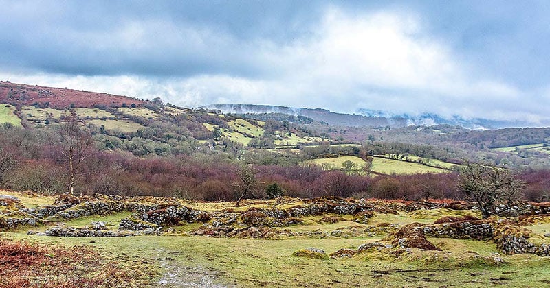 Settlement desertedSettlement deserted, medieval · 1023 yd
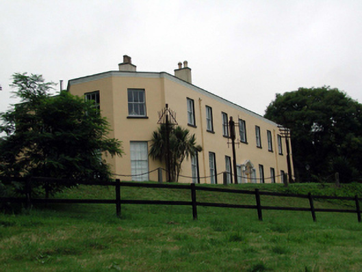 Ballyglan Housecountry house · 1538 yd
 Fornaght StrandBeach / strand · 1734 yd
 Knockavelish HeadHeadland · 1.0 mi
 Councillors StrandBeach / strand · 1.5 mi
 Castle in ruinsCastle, Anglo-Norman masonry castle · 1.6 mi
 Lost at Sea Memorial WallMemorial · 2.1 mi
 Newtown HeadHeadland · 2.4 mi
Other information
Photo: Credit not shown in the picture search · Rights wording not checked; contact us if this picture should be removed