What is recorded here
Killickaweeny in County Kildare is a small habitation site where a wide ditch, narrow clay trench, shallow pit and burnt patch still hold medieval cooking pots. The features may belong to different times or purposes, yet they cluster near possible industrial activity a short distance away. People likely dug, burned, dumped and lived there before the road works exposed the remains.
An excavation (Licence no. 02E0995) was carried out at 'Site 18' before the proposed M4 Kinnegad-Enfield-Kilcock road development. The area of main archaeological potential was identified between the centre and the north-east corner of the site and consisted primarily of two north-south-aligned linear features, an irregularly shaped large pit and an area of burning. The larger of the two linear features extended across the middle of the site. It was 1.2-1.5m wide and a maximum of 0.3m deep; it was filled with redeposited subsoil and extended across the full width of the site, presumably continuing to the north and south of the excavation area. Occasional sherds of glazed medieval pottery were retrieved during excavation of this feature. It is possible that it represents an old field boundary, and its size and shape suggest that it is not part of a structure. The second linear feature was in the north-east corner of the site. It was 0.8m wide and a maximum of 0.5m deep and was filled with a compact clay that contained both medieval and post-medieval pottery. The feature was 10m long and extended beyond the northern limit of excavation. Its function is unclear.
The area of burning had been half-sectioned during testing, and little extra information was gained through the excavation of the remainder of the feature. Its relationship with the other features, if any, is unclear.
The irregularly shaped pit had a maximum width of 3.5m and a depth of 0.4m. It was filled with redeposited clay/subsoil. A large number of sherds of medieval pottery, consisting of unglazed coarse cooking ware, were found near the base of the pit. The differences in the typology of the pottery found in the features suggests that they may not be associated with one another. The redeposited material is possibly dump material from the excavation of the pit and/or the linear features. However, it is possible that this material and the general activity is directly associated with the possible industrial activity identified at 'Site 23', also excavated (Licence no. 02E1535), c. 50m to the north-east - see KD005-026----. (www.excavations.ie)
Compiled by: Gearóid Conroy
Date of upload: 10 June 2011
The monument record does not grant public access. Check the route and ask the landowner before entering private land.
- What survives
- Recorded monument
Places near here
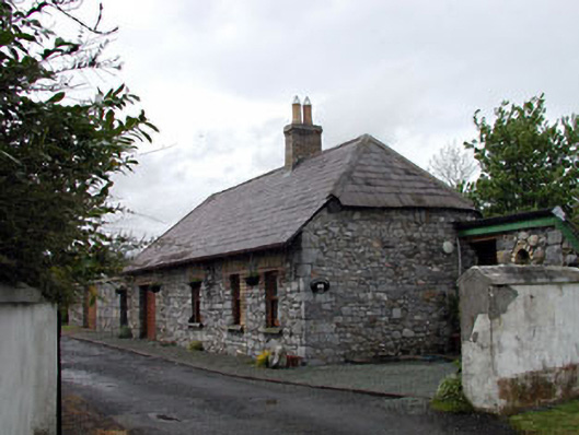 Pitchfordstown Housegate lodge · 1734 yd
 Church (Site of)Church · 1.0 mi
 Enclosure in CappaghEnclosure · 1.0 mi
 McLoghlin Bridgebridge · 1.1 mi
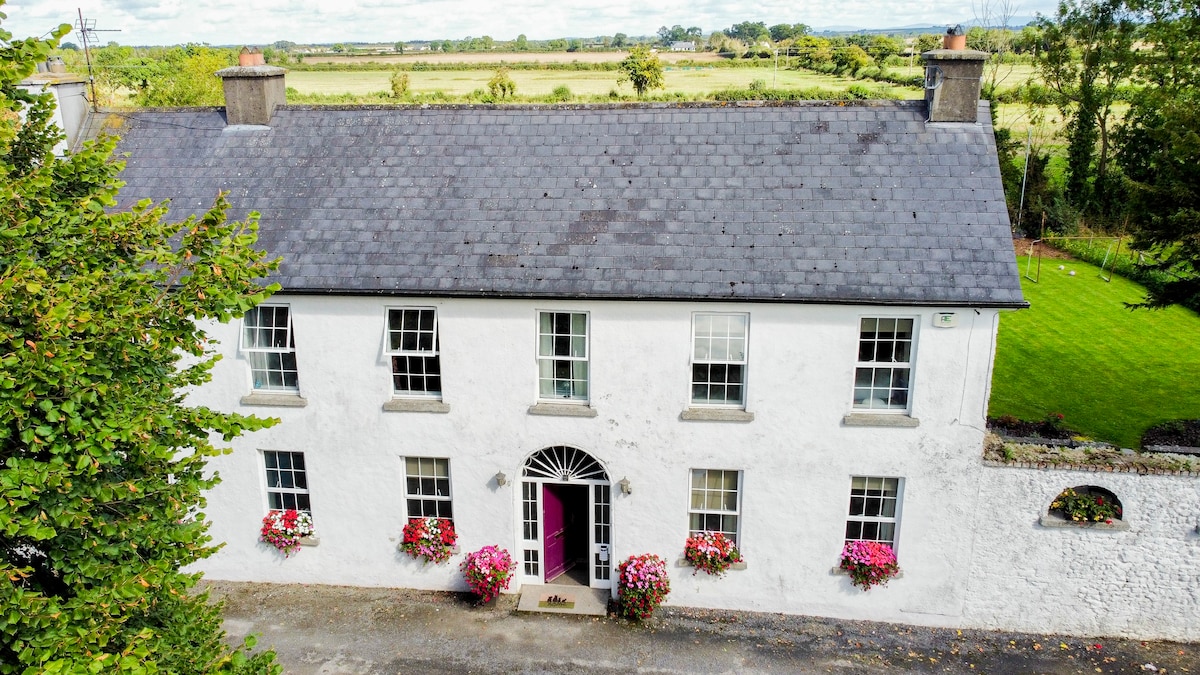 Bawn in PitchfordstownBawn · 1.2 mi
 European ashEuropean ash · 1.7 mi
 Kilgar GardensHeritage attraction · 1.9 mi
 Old Bog Road made famous by Teresa Bryton 1868-1943Memorial · 2.1 mi
 Mass was there in Penal TimesMemorial · 2.3 mi
 Cloncurry GraveyardHeritage attraction · 3.1 mi
 Cloncurry MoatCastle, motte · 3.1 mi
 Loughtown CovertWood · 4.5 mi