
What is recorded here
In 2002, archaeological excavation (Licence no. 02E1002) of an early medieval enclosure was undertaken as part of the M4 Kinnegad-Enfield-Kilcock Motorway Scheme. A large, heart-shaped area (diam. 60-70m) was defined by a ditch (av. Wth 2.5m; D 1.3m), generally U-shaped in profile, but V-shaped in its southern sections, which produced large amounts of metallurgical waste, some antler picks, animal bone (some butchered) and abundant fragments of mollusc shell. Two earlier ditches were excavated in the eastern extent of the site: an inner ditch which may have been an earlier manifestation of the main ditch that was subsequently abandoned in favour of a larger enclosing element, and an outer, L-shaped ditch which may have defined an enclosed area, perhaps for livestock. The interior of the site produced evidence of three houses (KD004-039001-, KD004-039002- and KD004-039003-) and a metalworking site (KD004-039004-). (www.excavations.ie)
Compiled by: Gearóid Conroy
Date of upload: 10 June 2011
The monument record does not grant public access. Check the route and ask the landowner before entering private land.
- What survives
- Recorded monument
Places near here
 Church (Site of)Church · 1139 yd
 Cliff-edge fort in Newtown (cloncurry Ed)Cliff-edge fort · 1188 yd
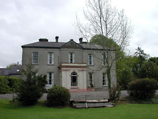 Cappagh Househouse · 1637 yd
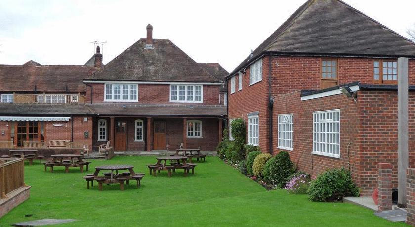 Newtown HouseRuins · 1655 yd
 Old Bog Road made famous by Teresa Bryton 1868-1943Memorial · 1.2 mi
 European ashEuropean ash · 1.2 mi
 Cloncurry GraveyardHeritage attraction · 2.1 mi
 Cloncurry MoatCastle, motte · 2.1 mi
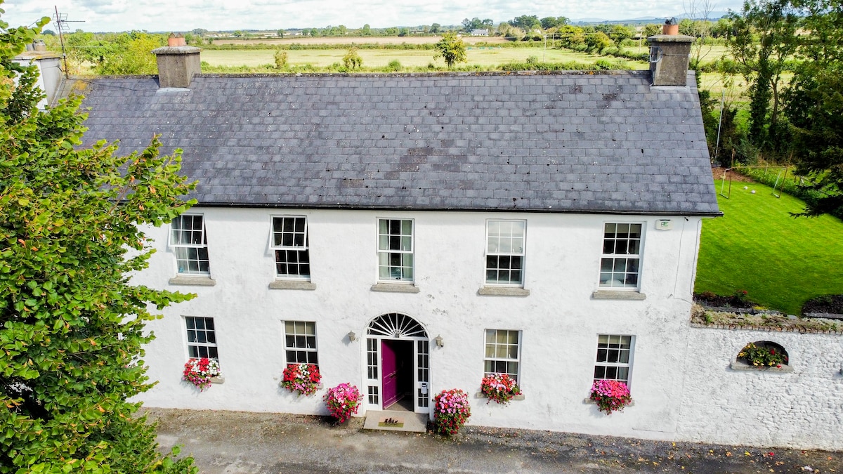 Bawn in PitchfordstownBawn · 2.2 mi
 Kilgar GardensHeritage attraction · 2.3 mi
 Mass was there in Penal TimesMemorial · 3.2 mi
 Loughtown CovertWood · 4.9 mi
Other information
Photo: Credit not shown in the picture search · Rights wording not checked; contact us if this picture should be removed