What is recorded here
On a low pasture rise surrounded by lower, poor, wet ground to W, N and E. A very large and fairly well-preserved trapezoidal area (dims. L c. 330m NW-SE; Wth c. 260m along NW side; Wth c. 320m along SE side) is defined by an intermittent, low, inner earthen bank (Wth 1-3m; int H 0.2-0.4m; ext H 1.5-2m), and an outer fosse which is recut as a drain (Wth 2-3m; av. D 1m). The enclosure was defended by D-shaped corner bastions, the straight sides of which back onto the interior (int. diams. 7-10m; straight side L 12-16.5m), three of which survive. The fourth, at the S corner, is shown on the 1st. ed. (1838) of the OS 6-inch map as being partially destroyed by a road, and by the date of the current OS 6-inch map (1939) it was overlain by a driveway. The interior is sub-divided roughly equally into four fields by hedged earthen banks, and the NW-SE bank follows the line of a tree-lined avenue which is indicated on Taylor's 1783 map of County Kildare and which also shows the site as a tree-lined sub-rectangular area. The avenue is still traceable as two parallel field banks to the NW of the site. May have been a plantation bawn. (Cullen and O'Keefe 1996, 215-7).
On a low pasture rise surrounded by lower, poor, wet ground to W, N and E. A very large and fairly well-preserved trapezoidal area (dims. L c. 330m NW-SE; Wth c. 260m along NW side; Wth c. 320m along SE side) is defined by an intermittent, low, inner earthen bank (Wth 1-3m; int H 0.2-0.4m; ext H 1.5-2m), and an outer fosse which is recut as a drain (Wth 2-3m; av. D 1m). The enclosure was defended by D-shaped…
From the National Monuments Service (Archaeological Survey of Ireland) record KD005-019
The monument record does not grant public access. Check the route and ask the landowner before entering private land.
- What survives
- Recorded monument
Places near here
Photo credits
- National Inventory of Architectural Heritage
- Willow, Wikimedia Commons · CC BY 2.5
- AugusteBlanqui, Wikimedia Commons · CC BY-SA 4.0
- Darkone ( talk · contribs ), Wikimedia Commons · CC BY-SA 2.5
- William Murphy from Dublin, Ireland, Wikimedia Commons · CC BY-SA 2.0
- Paul Mc Carthy, Geograph · Creative Commons Attribution-ShareAlike 2.0
- VisionsofthePast, Wikimedia Commons · CC BY-SA 4.0
- Mike Searle, Wikimedia Commons · CC BY-SA 2.0
- C O'Flanagan, Geograph · CC BY-SA 2.0
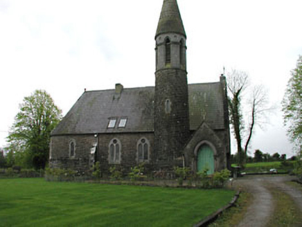 Kilbeg HouseChurch/chapel · 996 yd
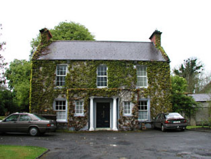 Boycetown HousePresbytery/parochial/curate's house · 1071 ydMass was there in Penal TimesMemorial · 1.3 mi
 European ash2.8 miOld Bog Road made famous by Teresa Bryton 1868-1943Memorial · 3.3 mi
 National Science MuseumMuseum · 4.1 mi
 Tree of Heaven4.2 mi
 Maynooth CastleHeritage attraction · 4.2 mi
 Grave YardGraveyard · 4.3 mi
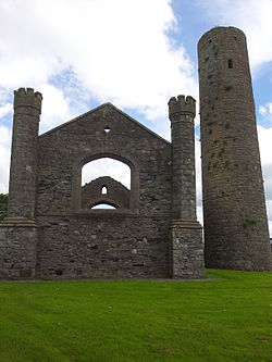 IndicatedEcclesiastical site · 4.6 mi
_-_geograph.org.uk_-_2494096.jpg/250px-Castles_of_Leinster,_Donadea,_Kildare_(1)_-_geograph.org.uk_-_2494096.jpg "Photo: Mike Searle, Wikimedia Commons · CC BY-SA 2.0") Donadea CastleCastle, tower house · 4.6 mi
Donadea CastleCastle, tower house · 4.6 mi Moygaddy Tower HouseRuins · 4.6 mi
More castles and forts in County Kildare · All of County Kildare
What do you know about this place?