What is recorded here
Uncovered during monitoring of top soil stripping prior to the development of the technology park (Excavation Licence 94E0440 ext.). Remains of two Bronze Age structures were excavated. Structure 1 was made up of two rings of post-holes forming a sub-circular shape (8m x 9m). Structure 2 was also sub-circular (7m x 6m) but only had one definite ring of postholes and within its enclosed area was a dense concentration of pits and stake-holes. A number of concentrations of postholes not forming any definite pattern were located outside the structures. Large sherds of coarse Bronze Age pottery were found in the postholes both within and outside the structures. (McLoughlin 2000, 214)
Reference:
McLoughlin, C. 2000 Mullagharlin/Haggardstown, Dundalk. In I. Bennett (ed.), Excavations 1999: summary accounts of archaeological excavations in Ireland, 213-15 (No. 610). Bray. Wordwell.
Compiled by: Claire Breen
Date of upload: 30 November 2011
The monument record does not grant public access. Check the route and ask the landowner before entering private land.
- What survives
- Recorded monument
Places near here
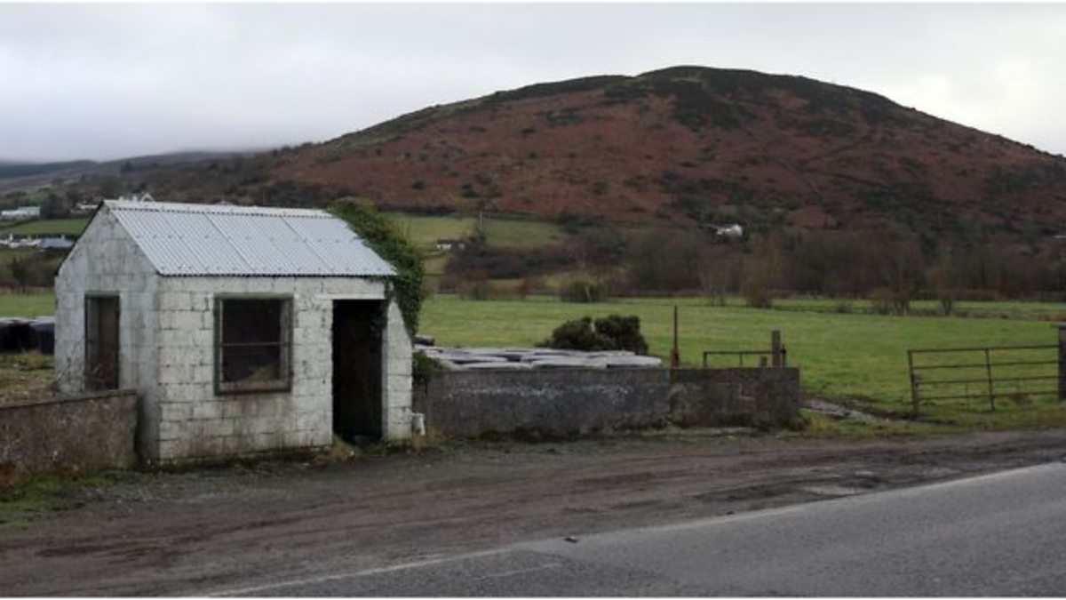 Enclosure in HaggardstownEnclosure · 404 yd
 Enclosure in MullagharlinEnclosure · 567 yd
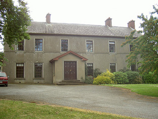 Mullaharlin Househouse · 602 yd
 Dundalk Institute of Technologyfactory · 607 yd
 CastleCastle, unclassified · 1247 yd
 IndicatedCastle, unclassified · 1519 yd
 BallybarrackMountain / peak · 1.5 mi
 Broad WoodForest · 1.7 mi
 Long WoodForest · 1.8 mi
 Photo GalleryHeritage attraction · 1.9 mi
 Louth County MuseumMuseum · 1.9 mi
 Bombing 1975Memorial · 1.9 mi