
What is recorded here
From the National Monuments Service (Archaeological Survey of Ireland) record ME033-032
Places near here
Photo credits
- Maker not stated on source page, en.wikipedia.org
- Maker not stated on source page, in.pinterest.com
- Maker not stated on source page, www.youtube.com
- National Inventory of Architectural Heritage
- SeoR, Wikimedia Commons · CC BY-SA 4.0
- Dvcireland, Wikimedia Commons · CC BY-SA 4.0
- Maker not stated on source page, www.ireland.com
- C O'Flanagan, Wikimedia Commons · CC BY-SA 2.0
- Kieran Campbell, Geograph · CC BY-SA 2.0
- C O'Flanagan, Geograph · CC BY-SA 2.0
 EnclosureEnclosure, large enclosure · 559 yd
Explorer Tom Enclosure in Fourknocks is a huge ninety-metre circle identified by Lidar, which basically means it’s hiding from the…
 CairnCairn, unclassified · 586 yd
Explorer Tom Cairn here swears you must step left or bad luck follows. It’s buried under its own big brother, so it’s a bit shy.…
 Cist in FourknocksCist · 586 yd
Explorer Tom Cist in Fourknocks took three hundred cups of tea to build, according to my mate. It was a long, slow process with lots…
 Megalithic structure in FourknocksMegalithic structure · 586 yd
Explorer Tom Megalithic structure in Fourknocks is fifty meters from a passage tomb, which means it’s like the quiet cousin who…
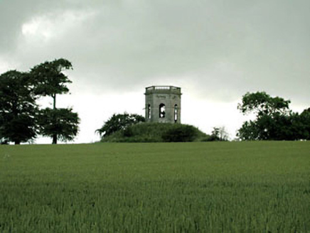 Herbertstown HouseBelvedere, gazebo · 930 yd
Explorer Tom Herbertstown House is just a hexagonal gazebo pretending to be something much more important than a garden shed. It’s…
 FourknocksPassage tomb · 1413 yd
Explorer Tom Fourknocks is a passage tomb that probably has a ridiculous smuggling story attached to it, involving smugglers trying…
 Naul BridgeBridge · 1.3 mi
Explorer Tom Naul Bridge spans the Delvin River and dates back to 1656 on maps! It’s seen empires rise and fall. The banks are…
 CastleCastle, unclassified · 1.4 mi
Explorer Tom Naul Castle is also known as the Black Castle because the Cruise family liked dramatic lighting in the 13th century. It…
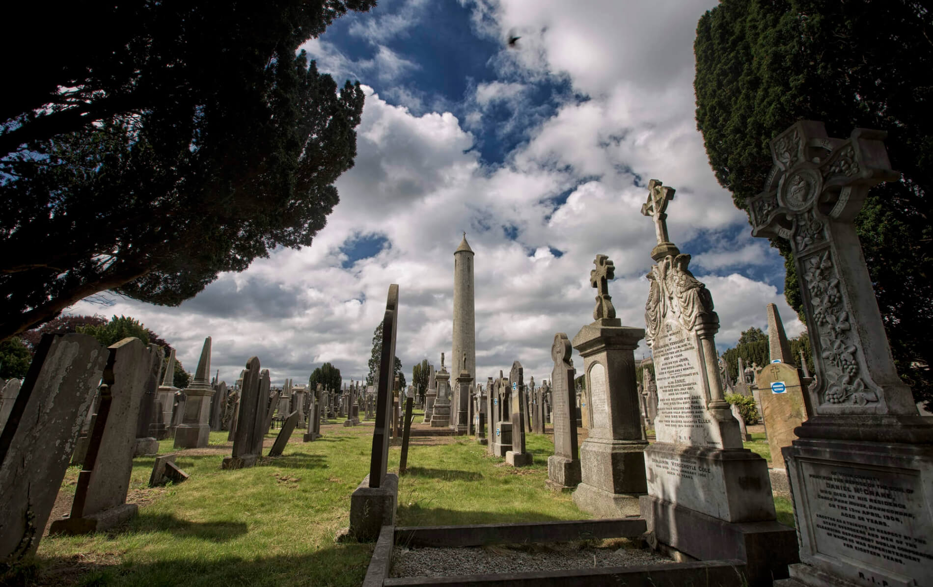 Naul GraveyardGraveyard · 1.4 mi
Explorer Tom Naul Graveyard would put 'Resting, Please Do Not Disturb' on its tombstone because it is genuinely tired of people…
 Séamus EnnisStatue · 1.4 mi
Explorer Tom Séamus Ennis has a hidden treasure buried under his feet that is definitely a biscuit tin containing three stale…
 Seamus Ennis Cultural CentreMemorial · 1.4 mi
Explorer Tom Seamus Ennis Cultural Centre in County Dublin gave up music for Lent to prove a point, then immediately regretted it…
 Westown HouseCastle, tower house · 1.5 mi
Explorer Tom Westown House in Westown is an eighteenth-century mansion that swallowed a tower house whole just to feel more…
More archaeology and monuments in County Meath · All of County Meath

What do you know about this place?Tap to add a comment or ask a question