What is recorded here
Under the ordinary soil of Boycetown, a shallow hearth and three charcoal-stained pits mark a forgotten moment of human warmth. The fire may have burned for hours or days, feeding small pits that caught its residue while a faint arc of stake-holes stood nearby like an abandoned promise of shelter. No pot, bone or arrowhead survived to name the hands that tended the flame, leaving only the red earth and black sand to witness that someone lived briefly there before disappearing from history.
In 2002, an archaeological excavation (Licence no. 02E0992) was carried out before the proposed M4 Kinnegad-Enfield-Kilcock road development at 'Site 12' in Boycetown. Previous linear testing (Licence no. 02E0141) had uncovered a large stone spread. To the west of this feature a number of cuts were recorded, forming a series of linear features and a small, rounded pit. A probable hearth was identified that consisted of a spread of red/brown sandy soil with patches of charcoal. This covered an area of 0.75m north-south by 0.55m. It had a maximum depth of 1m in the centre of the deposit. The deposit had the appearance of being in a shallow hollow, although it is possible that it represented natural subsoil that had been scorched rather than material that was deposited.
A few metres to the north-east was a small pit, the fill of which contained a high proportion of charcoal. The pit was roughly circular, 0.45m in diameter and 0.09m deep. It was filled with a black/brown sandy soil with a high concentration of charcoal. Immediately to the west was a slightly smaller pit that was also roughly circular, 0.35m in diameter and a maximum of 0.22m deep. It too was filled with a deposit of black/brown, sandy/silty soil with a large amount of charcoal staining. To the east of the pits was a roughly lozenge-shaped shallow pit oriented north-south. It was 2.1m long and a maximum of 0.94m wide at the northern end.
A cluster of six small stake-holes was identified in the south-west corner of the excavated area. They were 2-3m to the south of the areas of burning discussed above. These formed a roughly semicircular arc. It is possible that the stake-holes represent evidence of a windbreak fence sheltering the burning to the north, although the degree of burning appears too small to have warranted a windbreak and the windbreak seems too far away to have functioned efficiently. The close proximity of these features and their evidence of burning clearly imply that they were associated with each other. It is not clear what the nature of this association is or what the purpose of the burning was. It is possible that the pits represent two small post-holes, but they may also be shallow pits into which material from the burning at the probable hearth was dumped. No datable material or artefacts were found on the site, and the archaeology can only be identified as small-scale localised activity, as there was nothing to suggest that the deposits extended beyond the stripped area.
(www.excavations.ie)
Compiled by: Gearóid Conroy
Date of upload: 10 June 2011
The monument record does not grant public access. Check the route and ask the landowner before entering private land.
- What survives
- Recorded monument
Places near here
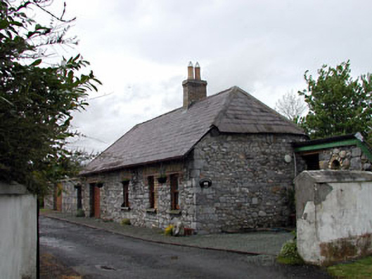 Pitchfordstown Housegate lodge · 348 yd
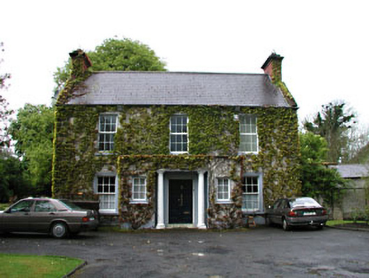 Boycetown Housepresbytery/parochial/curate's house · 486 yd
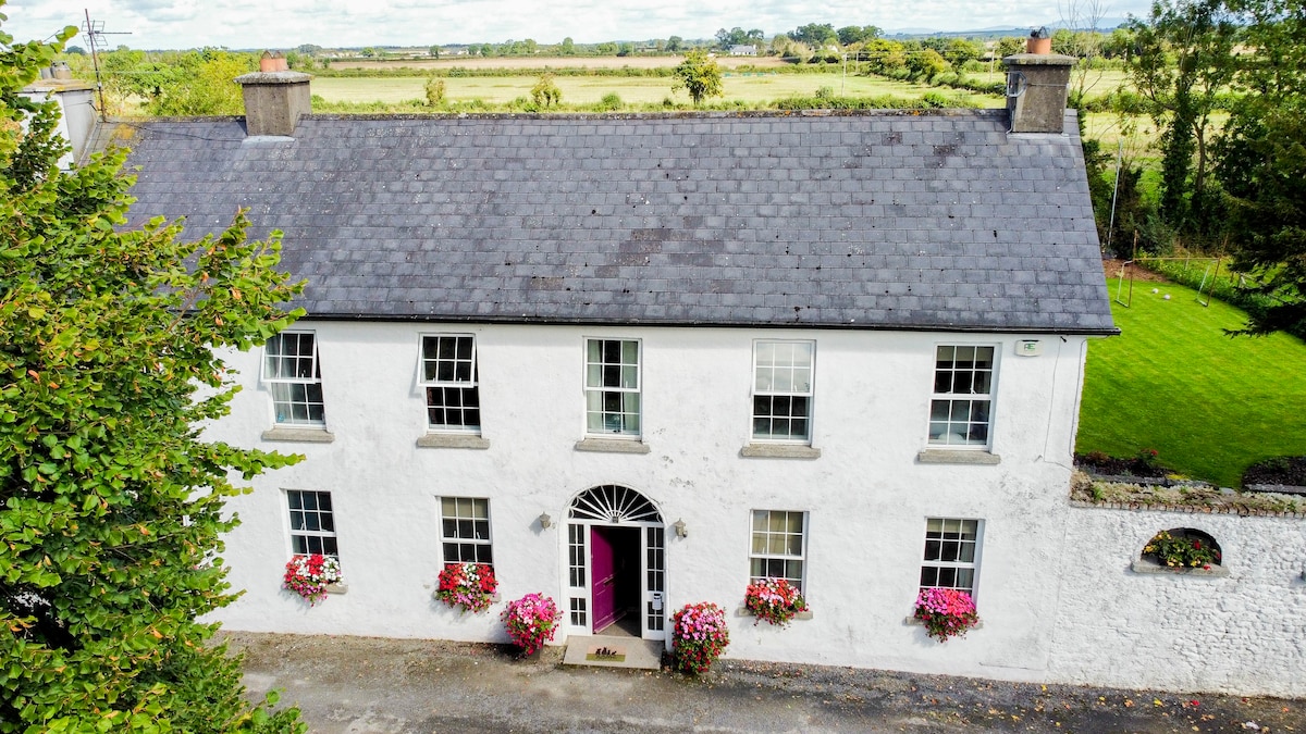 Bawn in PitchfordstownBawn · 837 yd
 Enclosure in BoycetownEnclosure · 916 yd
 Font in KilcockFont · 1.2 mi
 Mass was there in Penal TimesMemorial · 1.7 mi
 Kilgar GardensHeritage attraction · 1.8 mi
 Rodanstown fortCastle, motte · 2.3 mi
 European ashEuropean ash · 2.4 mi
 Old Bog Road made famous by Teresa Bryton 1868-1943Memorial · 2.9 mi
 Larchil Arcadian GardensHeritage attraction · 3.0 mi
 The OrchardWood · 4.5 mi