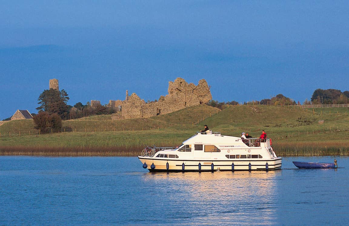
What is recorded here
Situated on top of high ground in undulating countryside. Only portion of the W gable survives with wall footings elsewhere indicating the outline of a long rectangular church (OF046-006----) built with roughly coursed limestone rubble. The only architectural feature visible is a single splay of a window at the centre of the W wall. The church is located in the centre of a large graveyard containing 18th/19th-century headstones. There is a tower house (OF046-008----) located to the S of the church which may be contemporary with the site and possible evidence of medieval settlement between the church and tower house.
Compiled by: Caimin O'Brien.
Date of upload: 23 May 2011
A ruined long rectangular church, likely medieval in date; its location on high ground suggests a strategic or ecclesiastical significance in the local landscape.
The monument record does not grant public access. Check the route and ask the landowner before entering private land.
- What survives
- Recorded monument
Places near here
 Mound in CullenwaineMound · 297 yd
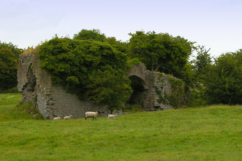 Bawn in CullenwaineBawn · 339 yd
 Enclosure in BallingorraunEnclosure · 425 yd
 Ballintemple Housecountry house · 1.3 mi
 Ballintemple Ho.House, 18th/19th century · 1.3 mi
 CastleCastle, tower house · 1.7 mi
 Kyleroe WoodWood · 2.7 mi
 BenduffMountain / peak · 3.3 mi
 Thomas MacDonagh Heritage CentreMuseum · 4.1 mi
 MacDonagh HouseMemorial · 4.1 mi
 Borrisnoe MountainMountain / peak · 4.4 mi
 Knockanacree WoodForest · 4.8 mi
Other information
Photo: Credit not shown in the picture search · Rights wording not checked; contact us if this picture should be removed