
What is recorded here
Grilly Castle stood twenty metres long on a drumlin slope beside the old Belturbet road, possibly an O'Reilly stronghold before disappearing entirely from sight. The 1835 map still drew its walls and northern projection, but later surveys admitted only that the site existed. Men clearing land in the 1980s struck red brick and rubble where grass now covers the truth. The castle did not fall; it was erased, leaving a hole in the landscape that resists memory.
Depicted as a large building (dims c. 20m E-W; c. 10m N-S) perhaps with a wide projection on the N side, and described as Grilly Castle in Ruins on the 1835 ed. of the OS 6-inch map and as (Site of) on subsequent eds. It is situated on the W slope of a drumlin and on the S side of an old road to Belturbet. Possibly an O'Reilly stronghold. Although there are now no visible remains of this monument at ground level, an earlier account (Davies 1947a, 91) noted some grassed-over mounds possibly marking the outline of a small building. During land clearance in the vicinity in the early 1980s red brick and rubble were uncovered (local information).
The above description is derived from the published 'Archaeological Inventory of County Cavan' (Dublin: Stationery Office, 1995). In certain instances the entries have been revised and updated in the light of recent research.
Date of upload/revision: 22 December 2008
The monument record does not grant public access. Check the route and ask the landowner before entering private land.
- What survives
- Recorded monument
Places near here
 Derryarmush ForestForest · 1246 yd
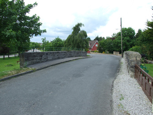 bridgebridge · 1580 yd
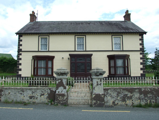 Sugarloafhouse · 1644 yd
 Dernaglush ForestForest · 1.1 mi
 Friar's FortArchaeological place · 1.2 mi
 Friars Fort (Site of)Enclosure · 1.2 mi
 Bomb Victims MemorialMemorial · 1.3 mi
 Belturbet Heritage Railway Station MuseumMuseum · 1.3 mi
 Welcome to Belturbet StationVisitor information · 1.3 mi
 Belturbet Railway Station Visitor CentreHeritage attraction · 1.4 mi
 Mill WalkVisitor information · 1.5 mi
 Sit of CastleCastle, motte and bailey · 1.6 mi
Other information
Photo: Credit not shown in the picture search · Rights wording not checked; contact us if this picture should be removed