
What is recorded here
Griffin Rath is a double-banked oval in Kildare pasture, its narrow causeway pointing northwest toward the SE rise inside. The outer bank still stands tall enough to block the horizon, while the inner ring has softened into a shallow trough where rain collects and grass grows thick. A second rath waits sixty metres north, as if the first were only a chamber in a longer forgotten building.
In open, gently undulating, mixed tillage and pasture with a second rath (KD011-008----) c. 60m to the N. An oval area (int. diams. 34m N-S; 30m E-W) is defined by an overgrown, inner earthen bank (Wth 2m; int. H 0.5m; ext. H 1.5m), a fosse (Wth 5m) and a second, partially overgrown, outer earthen bank (Wth 3m; int. H 1.5m; ext. H 1.1m). There is a causewayed entrance (Wth 3.5m) at NW, and the interior rises gently towards the SE. Visible with overgrown enclosing elements on a recent aerial photograph (OSi Orthophoto 2005).
Compiled by: Gearóid Conroy
Date of upload: 10 June 2011
The monument record does not grant public access. Check the route and ask the landowner before entering private land.
- What survives
- Recorded monument
Places near here
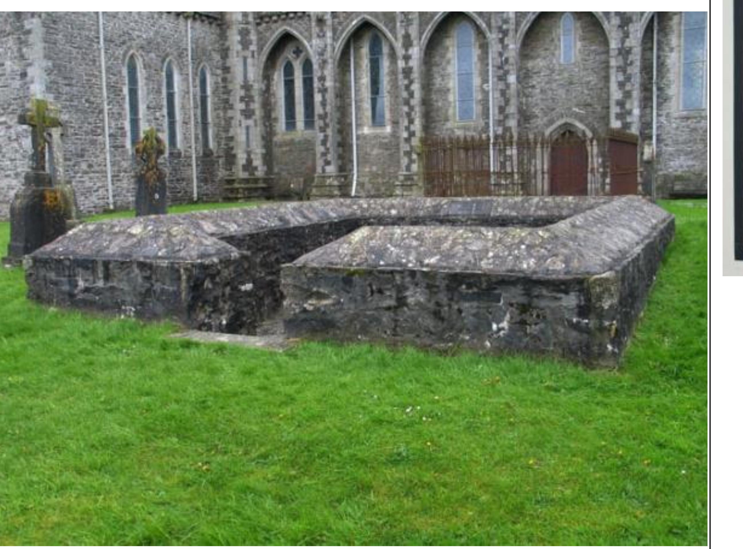 Enclosure in GriffinrathEnclosure · 1394 yd
 Andrew FayMemorial · 1480 yd
 Joseph McCormackMemorial · 1649 yd
 IndicatedEnclosure · 1658 yd
 Conolly's FollyHeritage attraction · 1.1 mi
 Church (in Ruins)Church · 1.5 mi
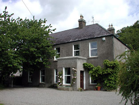 Windgates Househouse · 1.5 mi
 The OrchardWood · 1.8 mi
 National Science MuseumMuseum · 1.8 mi
 European YewEuropean Yew · 1.9 mi
 CastleCastle, unclassified · 2.4 mi
 Ecclesiastical enclosure in Kilmacredock UpperEcclesiastical enclosure · 1.5 mi
Other information
Photo: Credit not shown in the picture search · Rights wording not checked; contact us if this picture should be removed