What is recorded here
Templemurry Church (TS070-088----) is enclosed by a sub-rectangular graveyard (dims. 24.4m N–S along the E side; 35.3m N–S along the W side; 39.5m E–W), defined to the S by a broad bank (int. H 0.35m; ext. H 0.94m; Wth at top 1.4m; overall Wth 4.5m) and to the E, at the S end, by an irregular much eroded scarp/bank (int. H 0.25m; ext. H 0.5m; Wth at top 1.4m; overall Wth 2.5m). There is no visible scarp or bank along the N half of the E side. The N side is defined by a broad low bank (int. H 0.3m; ext. H 0.4m; Wth at top 1.5m; overall Wth 4.3m) which appears to continue in the field across the road to the W where there is a low rise for a short distance (L 5.3m). The W edge of the graveyard is poorly preserved but is visible as a low scarp (H 0.45m). The NW angle is not visible above ground level.
Compiled by: Jean Farrelly
Date of upload: 28 September 2011
The monument record does not grant public access. Check the route and ask the landowner before entering private land.
- What survives
- Recorded monument
Places near here
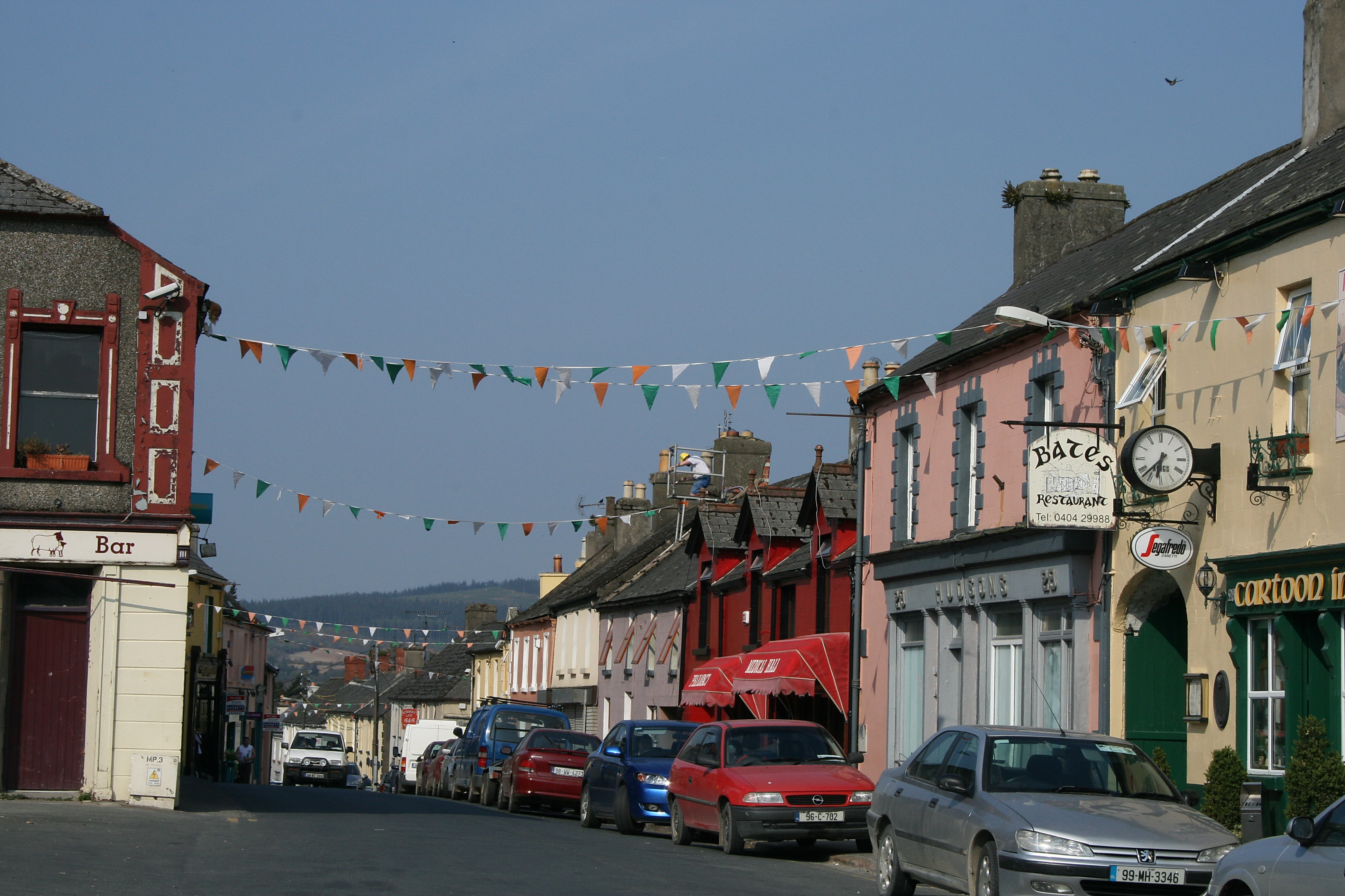 (Site of) TemplemurryChurch · 7 yd
 Rathdrum Castle (in ruins)Castle, tower house · 361 yd
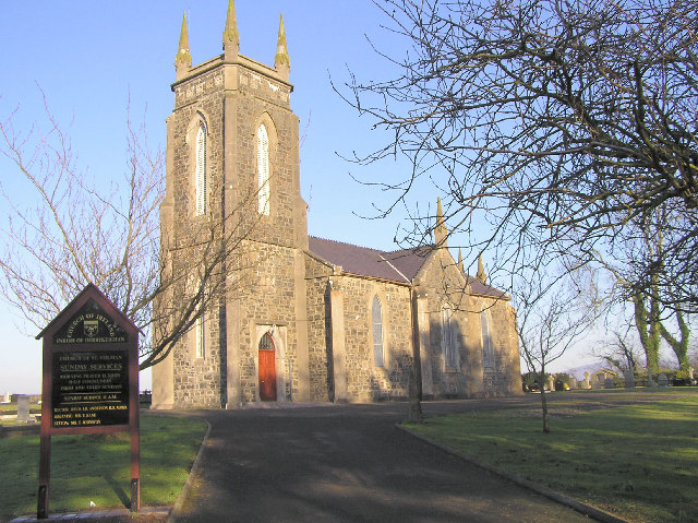 Colman Church (in ruins)Church · 1145 yd
 Enclosure in Colman (hennessy)Enclosure · 1147 yd
 (Site of) Killerk CastleCastle, unclassified · 1671 yd
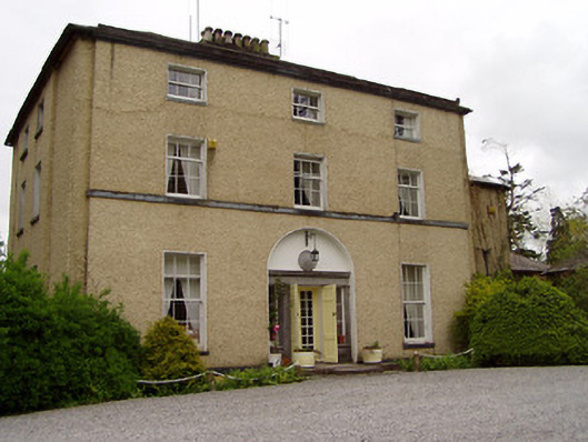 Clonacody Housecountry house · 1.4 mi
 Pedunculate OakPedunculate Oak · 1.7 mi
 Grove WoodForest · 2.1 mi
 East GateMemorial · 2.4 mi
 Kilknockan HillMountain / peak · 3.4 mi
 former site of a Ring FortArchaeological place · 1350 yd
 ToberamaherHoly well · 1541 yd