What is recorded here
Templemurry Church in Rathdrum sits inside a sub-rectangular graveyard where broad earthen banks still mark the edge of a much older Christian life. The south bank rises nearly a metre above the graves, while the east edge has eroded into a shallow scar, suggesting centuries of rain, foot traffic and forgotten burial. People may have walked this narrow green chamber for generations, carrying the dead past the same church walls before the land itself began to swallow the boundary.
Templemurry Church (TS070-088----) is enclosed by a sub-rectangular graveyard (dims. 24.4m N–S along the E side; 35.3m N–S along the W side; 39.5m E–W), defined to the S by a broad bank (int. H 0.35m; ext. H 0.94m; Wth at top 1.4m; overall Wth 4.5m) and to the E, at the S end, by an irregular much eroded scarp/bank (int. H 0.25m; ext. H 0.5m; Wth at top 1.4m; overall Wth 2.5m). There is no visible scarp or bank along the N half of the E side. The N side is defined by a broad low bank (int. H 0.3m; ext. H 0.4m; Wth at top 1.5m; overall Wth 4.3m) which appears to continue in the field across the road to the W where there is a low rise for a short distance (L 5.3m). The W edge of the graveyard is poorly preserved but is visible as a low scarp (H 0.45m). The NW angle is not visible above ground level.
Compiled by: Jean Farrelly
Date of upload: 28 September 2011
The monument record does not grant public access. Check the route and ask the landowner before entering private land.
- What survives
- Recorded monument
Places near here
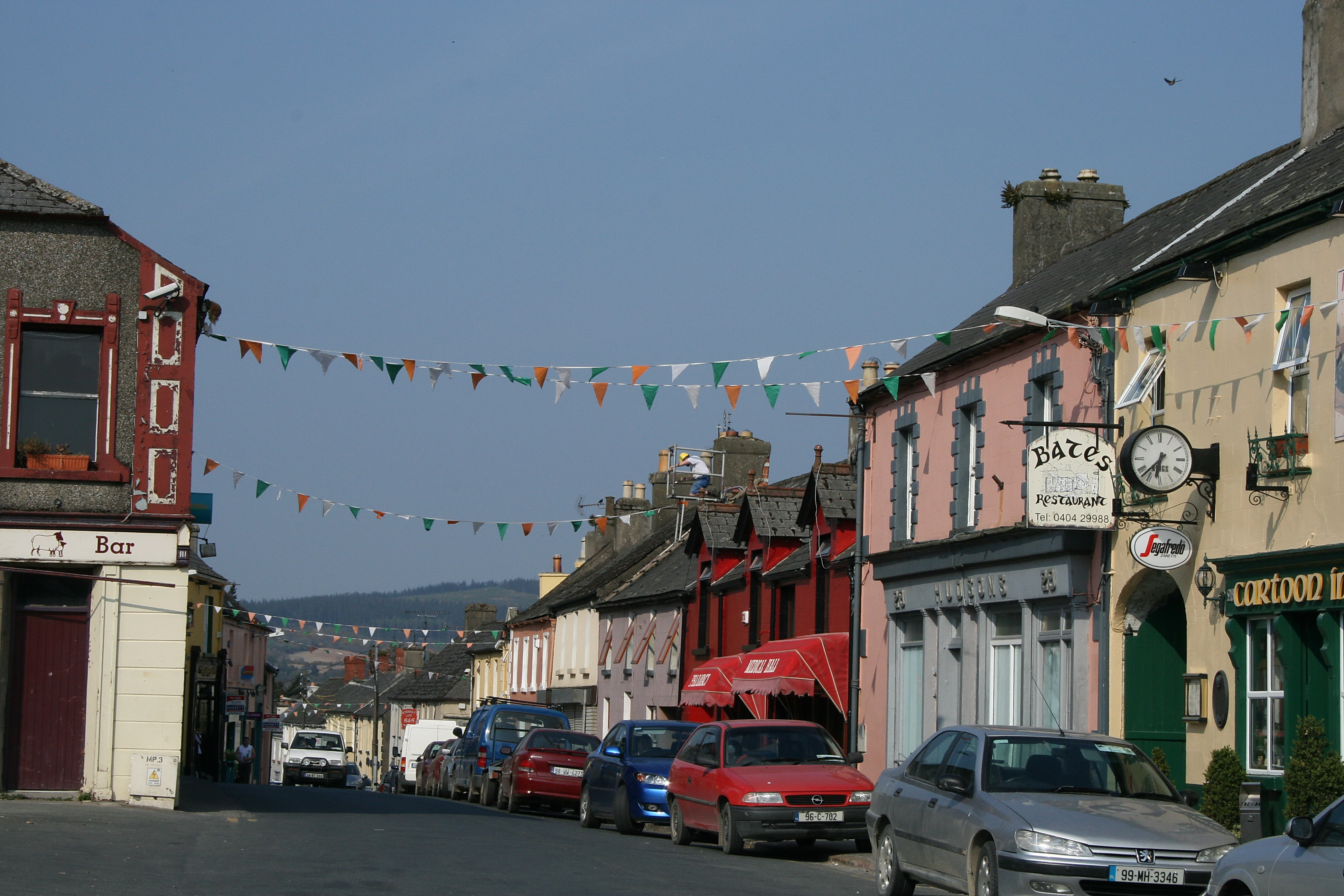 (Site of) TemplemurryChurch · 7 yd
 Rathdrum Castle (in ruins)Castle, tower house · 361 yd
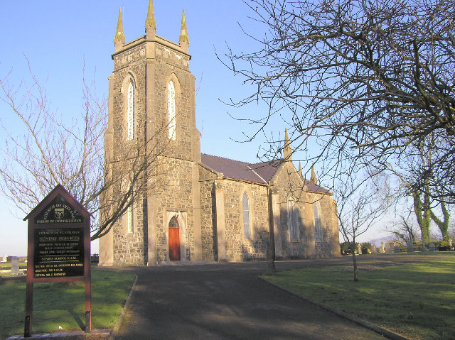 Colman Church (in ruins)Church · 1145 yd
 Enclosure in Colman (hennessy)Enclosure · 1147 yd
 (Site of) Killerk CastleCastle, unclassified · 1671 yd
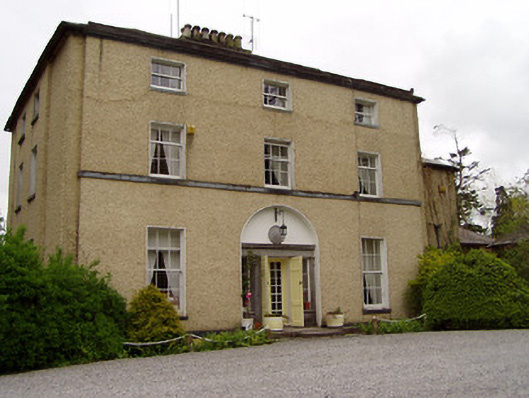 Clonacody Housecountry house · 1.4 mi
 Pedunculate OakPedunculate Oak · 1.7 mi
 Grove WoodForest · 2.1 mi
 East GateMemorial · 2.4 mi
 Kilknockan HillMountain / peak · 3.4 mi
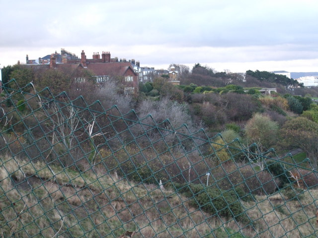 former site of a Ring FortArchaeological place · 1350 yd
 ToberamaherHoly well · 1541 yd