What is recorded here
Graveyard in Kilmore Upper stands in pasture on a low rise, its sub-rectangular shape marked by a surviving bank and faint fosse. A small church sits off-centre to the southeast, suggesting worship and burial shared one enclosed space. People may have walked this ground for generations, tending the dead beside living fields. The quiet shape still holds that rhythm, even when names have faded.
In pasture, on a low rise. Roughly sub-rectangular area (dims. c. 52m E-W; min. c. 50m N-S) defined by remains of low bank (int. H 0.15m; ext. H 0.25m; Wth at top 1.3m; total Wth 5.3m) to W, N and E. Bank (int. H 0.05m; ext. H 0.1m; Wth atop 1.65m; total Wth 5.8m) is best preserved along S-side (L 50m). Fosse (basal Wth 1.2m; overall Wth 4.2m; Dth 0.1m) to N and E continues as dry, sinuous stream bed along W-side. Fosse (basal Wth 1.0m; overall Wth 6.45m; Dth 0.6m) is best preserved along S-side. Bank along W-side is sinuous as it follows the upper side of the dry stream bed. Church (TS060-012----) is off-centre to SE within.
Compiled by: Jean Farrelly
Date of upload: 26 August 2011
The monument record does not grant public access. Check the route and ask the landowner before entering private land.
- What survives
- Recorded monument
Places near here
 Church (in ruins)Church · 17 yd
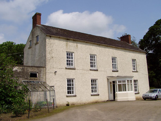 Kilmore Househouse · 472 yd
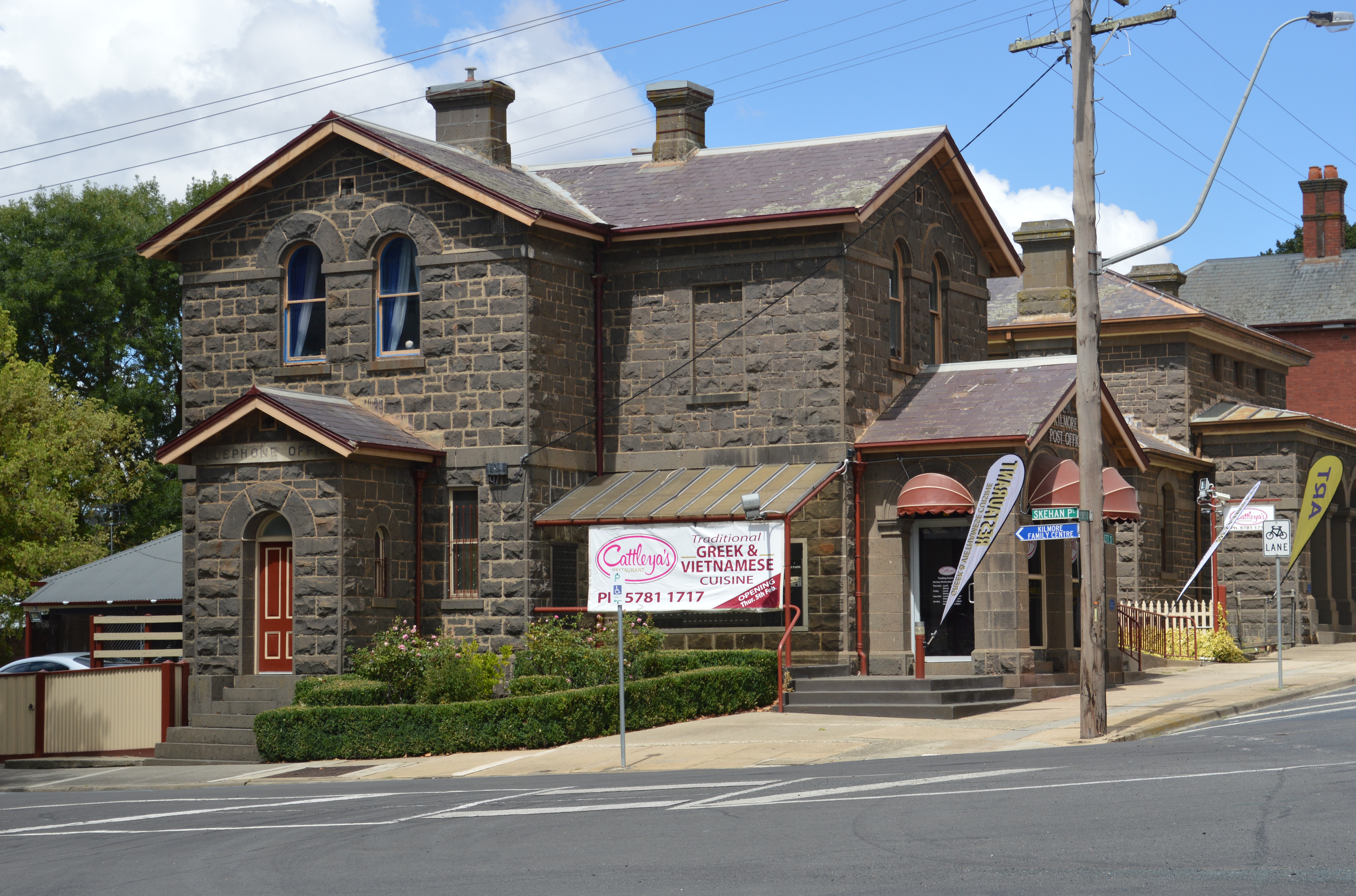 Enclosure in Kilmore UpperEnclosure · 616 yd
 Enclosure in Kilmore LowerEnclosure · 1015 yd
 European ashEuropean ash · 1313 yd
 Castle (in ruins)Castle, tower house · 1715 yd
 Bawn in Ballinaclogh (rathlynin Par.)Bawn · 1724 yd
 Woodcock GroveWood · 1.7 mi
 Athassel PrioryHeritage attraction · 3.9 mi
 The RockViewpoint · 8.7 mi
 Christ the KingViewpoint · 9.4 mi
 Glen of AherlowViewpoint · 9.4 mi