
What is recorded here
In pasture, on a low rise, within a rectangular enclosure (TS060-136--). A rectangular area (dims. c. 14m E-W; c. 6m N-S) defined by remains of a low earthen bank (Wth at top 1.45m; total Wth 4.2m; int. H 0.2m; ext. H 0.25m) at N, E and S sides and by a wide, more gradual bank (Wth at top 1.45m; total Wth 7.1m; int. H 0.25m; ext. H 0.45m) at the W side where the bank has slipped on the exterior. Stone was detected beneath the bank indicating the remains of a collapsed, sod-covered wall. The interior is a gradual sunken hollow. It is depicted on the 1st (1840) ed. OS 6-inch map as 'Church (in ruins)'.
Compiled by: Jean Farrelly
Date of upload: 26 August 2011
The monument record does not grant public access. Check the route and ask the landowner before entering private land.
- What survives
- Recorded monument
Places near here
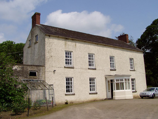 Kilmore Househouse · 466 yd
 Enclosure in Kilmore UpperEnclosure · 628 yd
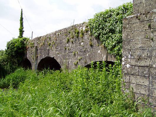 Aughnagross Bridgebridge · 937 yd
 Enclosure in Kilmore LowerEnclosure · 1001 yd
 European ashEuropean ash · 1321 yd
 Castle (in ruins)Castle, tower house · 1703 yd
 Bawn in Ballinaclogh (rathlynin Par.)Bawn · 1710 yd
 Woodcock GroveWood · 1.7 mi
 Athassel PrioryHeritage attraction · 3.8 mi
 The RockViewpoint · 8.7 mi
 Christ the KingViewpoint · 9.4 mi
 Glen of AherlowViewpoint · 9.4 mi
Other information
Photo: Credit not shown in the picture search · Rights wording not checked; contact us if this picture should be removed