What is recorded here
Kellistown East graveyard stretches seventy-nine metres around a medieval church whose south wall still forms the southern boundary. A later church appeared to the north-west, suggesting the community kept returning to the same ground despite changing beliefs. The rectangular enclosure holds both buildings and whatever buried life accumulated between them.
A rectangular enclosure (map dims. c. 37m N-S; c. 79m E-W) with the medieval church (CW008-038001-) in the S sector of the graveyard, the S wall of the church forming the S boundary of the graveyard. A later, probably 19th century, church was built to the NW of the earlier church.
Compiled by: Jean Farrelly
Date of upload: 19 August 2011
The monument record does not grant public access. Check the route and ask the landowner before entering private land.
- What survives
- Recorded monument
Places near here
 Kellistown ChurchRuins · 18 yd
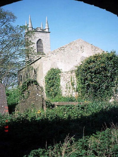 Saint Patrick's Church (Kellistown)church/chapel · 19 yd
 Font in Kellistown EastFont · 33 yd
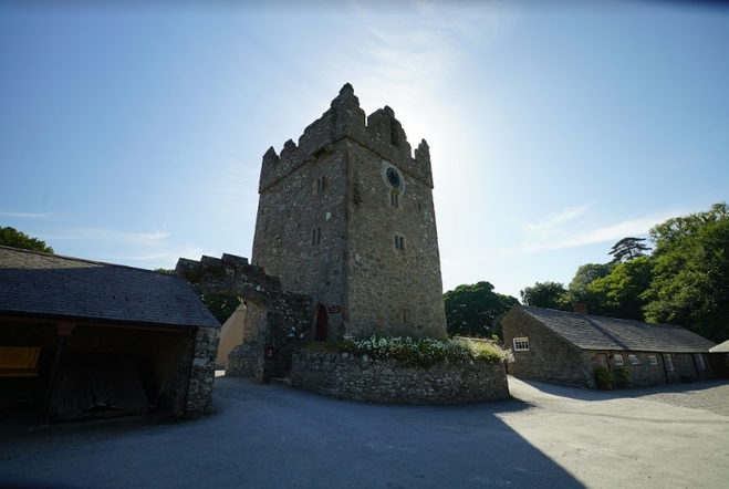 Enclosure in Kellistown EastEnclosure · 735 yd
 Site of CastleCastle, unclassified · 1245 yd
 Kilmurry Church (in ruins), GraveyardChurch · 1.1 mi
 Ballynunnery Castle in ruinsCastle, unclassified · 1.4 mi
 Church (in ruins), GraveyardChurch · 2.4 mi
 Brownshill Portal TombVisitor information · 3.6 mi
 Duckett's GroveHeritage attraction · 4.6 mi
 Cork oakCork oak · 4.7 mi
 European YewEuropean Yew · 4.8 mi