What is recorded here
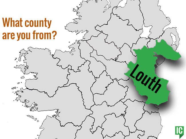
Graveyard in Dungooly holds church foundations and a sandstone slab beside graves that have waited out centuries of rain. The missing quernstone and bullaun suggest people once measured life in grain, water and death itself. What is lost there is not gone, only buried beneath the patience of Louth soil.
Sub-rectangular shaped graveyard (map dims. max L 55m NW-SE; max Wth. 32m NE-SW) with foundations of a rectangular church (LH004-006001-) in W half. A quernstone (LH004-006003-) and bullaun (LH004-006004-) were recorded here in 1964 (CLAJ 1964, 349-501, pls 1 and 2) but are no longer visible. A small roughly dressed sandstone slab (LH004-006005-) is to be found W of the church. (PRIA 61C, 118,121)
Compiled by: Claire Breen
Date of upload: 10 November 2011
The monument record does not grant public access. Check the route and ask the landowner before entering private land.
- What survives
- Recorded monument
Places near here
 IndicatedChurch · 14 yd
 ENCLOSURE in CarrickastickanENCLOSURE · 767 yd
 Dungooly Bridgebridge · 1137 yd
 Bawn in DungoolyBawn · 1138 yd
 Enclosure in DungoolyEnclosure · 1333 yd
 Forkhill Greenspace PathwayWalking route · 1388 yd
 TievecromMountain / peak · 1571 yd
 Ring of Gullion Way - ForkhillVisitor information · 1674 yd
 Sky HillMountain / peak · 1.4 mi
 TumulusCastle, motte and bailey · 1.6 mi
 Mass Rock Loop TrailWalking route · 1.8 mi
 Ballsmill Amenity LandPicnic place · 1.8 mi