What is recorded here
Curraghadobbin holds a graveyard where St. Bride's church still stands inside its own ancient cemetery, yet neither marker appears on the official map. That absence does not diminish the place; it removes the chance of visiting the wrong spot or trusting a false label. The buried boundary may have resisted measurement because it belonged to memory, not survey.
According to Power (1907, 303) 'there are some remains of an old church (St. Bride's) standing in its ancient cemetery but, strangely enough, neither church nor graveyard is marked on the 6 in. ordnance sheet'. The exact location of the church (TS079-037001-) and graveyard are unknown.
Compiled by: Jean Farrelly
Date of upload: 26 August 2011
The monument record does not grant public access. Check the route and ask the landowner before entering private land.
- What survives
- Recorded monument
Places near here
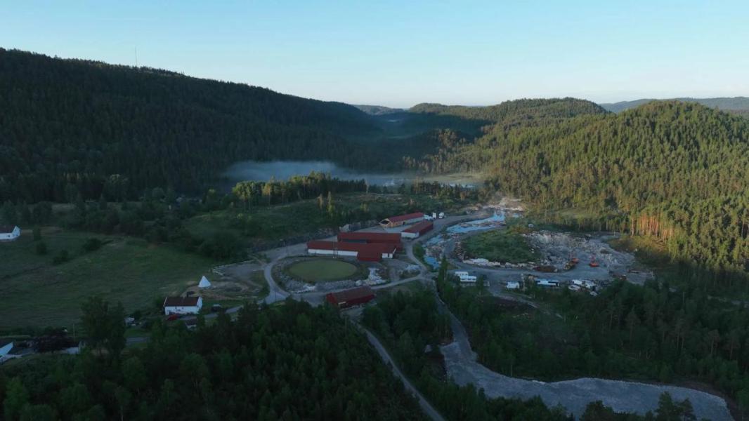 Enclosure in LissadoberEnclosure · 691 yd
 Curraghdobbin HillMountain / peak · 1078 yd
 Hillfort in CurraghadobbinHillfort · 1085 yd
 Wild CherryWild Cherry · 1.0 mi
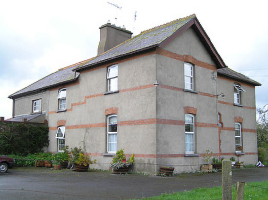 Ballyneill Castlehouse · 1.1 mi
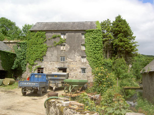 mill (water)mill (water) · 1.2 mi
 CastleCastle, ringwork · 1.6 mi
 Thomas KielyMemorial · 1.7 mi
 Kilcash WoodForest · 2.2 mi
 Carrigadoon HillMountain / peak · 2.3 mi
 Kilcash CastleCastle · 2.7 mi
 Carrigaloe RockNamed rock · 2.8 mi