
What is recorded here
Rectangular graveyard (map dims. c. 30m N-S; c. 28m E-W) with a church (CW012-024001-) aligned E-W along the northern boundary of the graveyard.
Compiled by: Jean Farrelly
Date of upload: 19 August 2011
The monument record does not grant public access. Check the route and ask the landowner before entering private land.
- What survives
- Recorded monument
Places near here
 Enclosure in ClonmelshEnclosure · 530 yd
 CrossCross, High cross · 687 yd
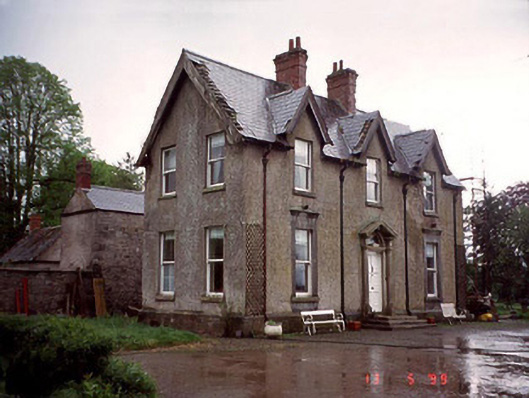 Garryhundon Househouse · 1383 yd
 Milford Locklock · 1.4 mi
 Pedunculate OakPedunculate Oak · 2.2 mi
 Graveyard in Tomard Lower (3 Detached Portions)Graveyard · 2.3 mi
 Common LimeCommon Lime · 2.4 mi
 Graiguealug Castle in ruinsCastle, unclassified · 2.7 mi
 Clogrenan CastleCastle, tower house · 2.8 mi
 Church (in ruins), GraveyardChurch · 3.5 mi
 Carlow County MuseumMuseum · 4.2 mi
 Carlow CastleRuined medieval castle · 4.2 mi
Other information
Photo: liam murphy · Creative Commons Attribution-ShareAlike 2.0