What is recorded here
Clonkeehan holds a possible graveyard beside its church, invisible on every OS map ever drawn. That absence does not diminish the place; it suggests the living once knew the boundary while the state forgot it. People may have walked past unmarked graves for generations, reading only the shape of the land and the memory of the church.
Possible graveyard associated with church (LH014-012001-), although not indicated on any edition of the OS maps.
Compiled by: Claire Breen
Date of upload: 30 May 2012
A possible early Christian graveyard, likely medieval in date, associated with a now-unrecorded church; its significance lies in its potential to provide insights into local ecclesiastical and burial practices.
The monument record does not grant public access. Check the route and ask the landowner before entering private land.
- What survives
- Recorded monument
Places near here
 Enclosure in CorbollisEnclosure · 970 yd
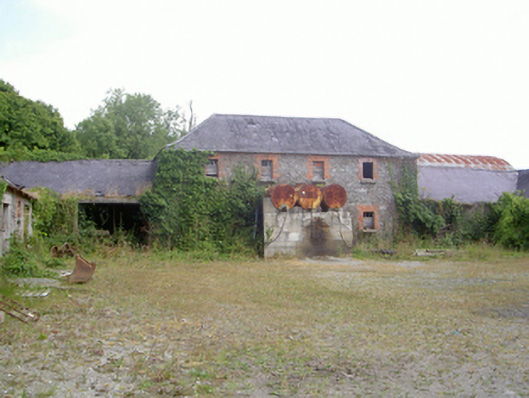 Corbollis Housecountry house · 980 yd
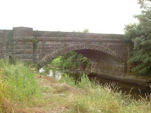 Mapastown Bridgebridge · 1115 yd
 MoatCastle, motte and bailey · 1179 yd
 Enclosure in ChristianstownEnclosure · 1295 yd
 Rabbit BurrowWood · 1.0 mi
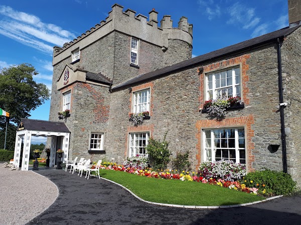 Darver CastleCastle · 1.8 mi
:no_upscale()/cdn.vox-cdn.com/uploads/chorus_asset/file/25593391/County_Louth_6th.jpg) LouthMountain / peak · 3.2 mi
LouthMountain / peak · 3.2 mi European BeechEuropean Beech · 3.3 mi
 Graveyard in StickillinGraveyard · 3.6 mi
 Graveyard in Richardstown (ardee By., Richardstown Par.)Graveyard · 3.8 mi
 Drummeenagh HillMountain / peak · 3.9 mi