What is recorded here
An inspection in 1990 by an ASI field worker to the enclosure to the NW (WI035-032----) noted that the small field marked on the 1838 and 1908 OS maps was called 'The Graveyard'.
Compiled by: Claire Breen
Date of upload: 06 September 2013
The monument record does not grant public access. Check the route and ask the landowner before entering private land.
- What survives
- Recorded monument
Places near here
 Enclosure in CherrymountEnclosure · 321 yd
 TobernaclaChurch · 576 yd
 Enclosure in Tigroney EastEnclosure · 724 yd
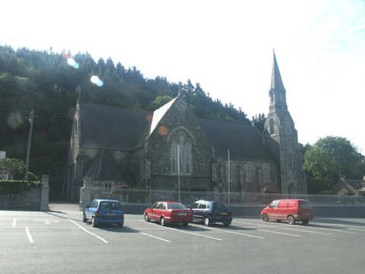 Catholic Church of Saint Mary and Saint Patrickchurch/chapel · 1109 yd
 Site of CastleCastle, unclassified · 1.3 mi
 Meeting of the WatersHeritage attraction · 1.5 mi
 Sweet ChestnutSweet Chestnut · 2.2 mi
 Scots PineScots Pine · 2.4 mi
 Woodenbridge World War One MemorialMemorial · 2.7 mi
 Viewing TowerHeritage attraction · 3.1 mi
 Wicklow 400Memorial · 4.3 mi
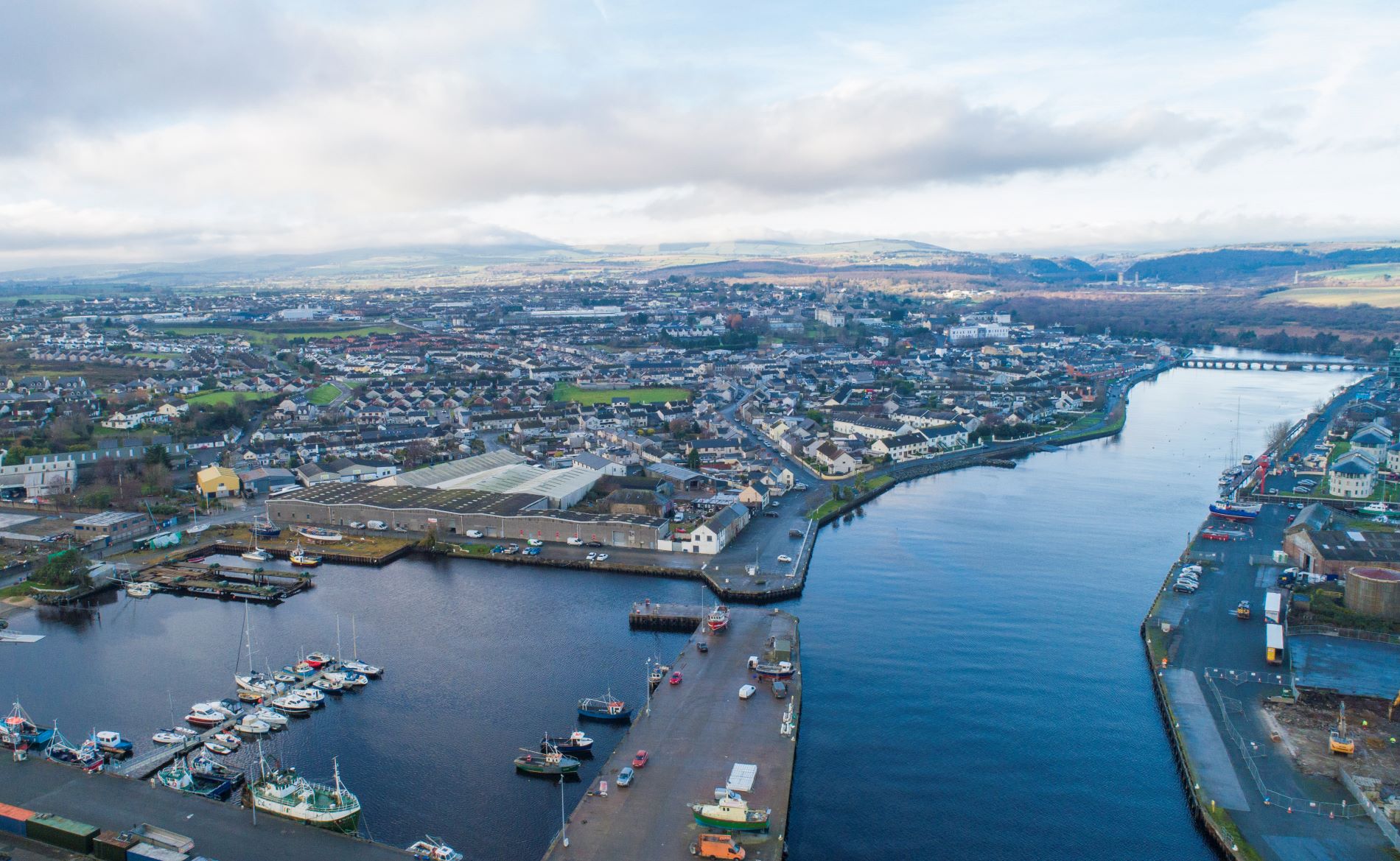 Site of Phelims CastleCastle, tower house · 6.0 mi