What is recorded here
Rectangular shaped graveyard (map dims. c. 30m NE-SW; c. 24m NW-SE) with church remains (LH018-046001-) in centre. When inspected by ASI in 1966 no gravemarkers were noted and according to local information no burials had taken place in living memory.
Compiled by: Claire Breen
Date of upload: 5 July 2012
The monument record does not grant public access. Check the route and ask the landowner before entering private land.
- What survives
- Recorded monument
Places near here
 Chapel (in Ruins), GraveyardChurch · 5 yd
 Holy well in CarrickbaggotHoly well · 441 yd
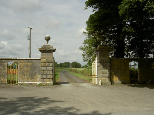 Rokeby Hallgates/railings/walls · 740 yd
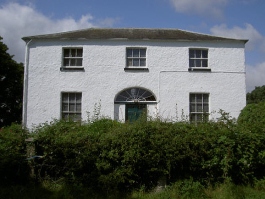 Glebe Houserectory/glebe/vicarage/curate's house · 993 yd
 Man-made underground passage in BrittasMan-made underground passage · 1108 yd
 Moneyveg WoodForest · 1.1 mi
 Sweet baySweet bay · 1.4 mi
 BarmeathCastle, tower house · 1.4 mi
 Graveyard in DysartGraveyard · 1.6 mi
 CastleCastle, motte · 2.0 mi
 Tullydonnell HillMountain / peak · 2.5 mi
 MonasterboiceEarly monastic site · 4.1 mi