What is recorded here
Located immediately E of Staad Abbey church (SL005-022001-). This consists of a rectilinear enclosure (18m E−W; 10m N−S) defined by a low grass-covered bank, which extends ENE from the E gable of the church. Within its area, immediately E of the church, McCormick et al. (2000, 10) recorded six low upright stone slabs (Wth c. 0.3m N−S; H c. 0.3m) set on edge in the ground, three of which are contiguous in a N-S row. These appear to be simple gravemarkers; McCormick et al. (ibid., 10) suggest that this enclosure may be a late medieval or post-medieval graveyard. A later N−S field boundary cuts across W end of the enclosure.
Compiled by: Jane O'Shaughnessy
Date of upload: 3 July 2017
A medieval graveyard; associated with Staad Abbey church and likely in use from the 13th century onwards, reflecting the religious and monastic history of the region.
The monument record does not grant public access. Check the route and ask the landowner before entering private land.
- What survives
- Recorded monument
Places near here
 StructureStructure, peatland · 30 yd
 Enclosure in AgharrowEnclosure · 42 yd
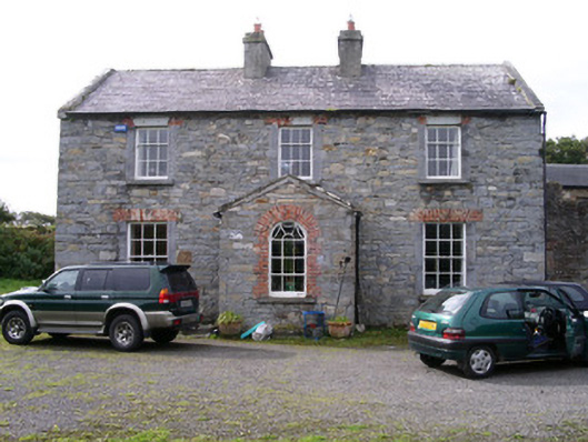 Streedagh Househouse · 724 yd
 de Cuellar Armada MonumentMemorial · 854 yd
 Streedagh BeachVisitor information · 1.0 mi
 Atlantic SheepdogsHeritage attraction · 1.0 mi
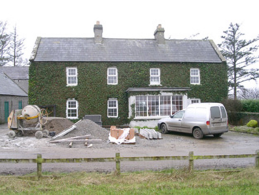 Ivy Househouse · 1.7 mi
 InishnagorIslet · 1.9 mi
 CastleCastle, unclassified · 1.9 mi
 Upperglen WoodForest · 2.1 mi
 Forester's WoodForest · 2.4 mi
 Bawn in DoonforeBawn · 2.5 mi