What is recorded here
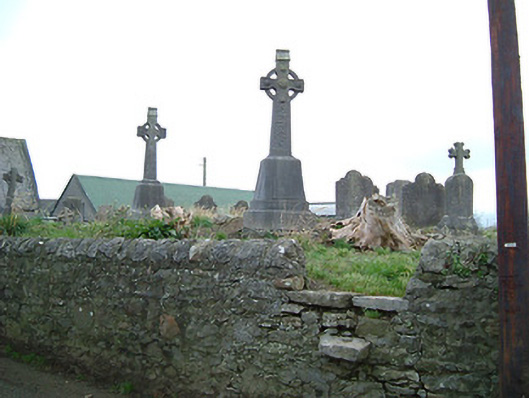
Graveyard with various cut-stone markers, c.1700-c.1900. Road fronted on a corner site with random rubble limestone boundary wall to perimeter of site having rubble limestone coping.
Occupying a slightly elevated position on a corner site in the centre of Ballytarsney a picturesque graveyard represents an early-surviving ecclesiastical site having origins in a medieval church (pre-1700; demolished, pre-1840). A collection of cut-stone markers exhibiting particularly fine craftsmanship identifies the artistic design aesthetic of the site.
This does not grant access. Most recorded buildings are privately owned; view them only from public ground unless the owner allows entry.
Places near here
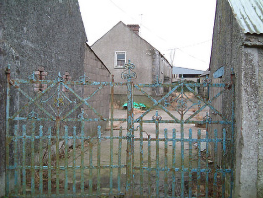 farm housefarm house · 55 yd
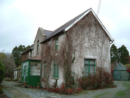 Ballytarsney Househouse · 183 yd
 CastleCastle, unclassified · 667 yd
 Enclosure in BallincurraEnclosure · 1.3 mi
 Pollrone House (site of)Archaeological place · 1.4 mi
 Rockets Castle (in ruins)Castle, tower house · 1.9 mi
 Ballynaboley WoodForest · 2.1 mi
 Portlaw Heritage CentreMuseum · 2.9 mi
 Mount Bolton WoodForest · 3.2 mi
 Waterford & Suir Valley RailwayHeritage attraction · 3.7 mi
 Donnell's HillMountain / peak · 4.1 mi
 Tower HillMountain / peak · 4.4 mi
Other information
Photo: National Inventory of Architectural Heritage · Website use allowed for educational or private purposes with source credit